青藏高原土壤温湿度观测数据(2008-2016)
收藏国家青藏高原科学数据中心2021-04-19 更新2024-03-06 收录
下载链接:
https://data.tpdc.ac.cn/zh-hans/data/a08ac15d-06a1-4150-806c-50b8d8b0f72a
下载链接
链接失效反馈官方服务:
资源简介:
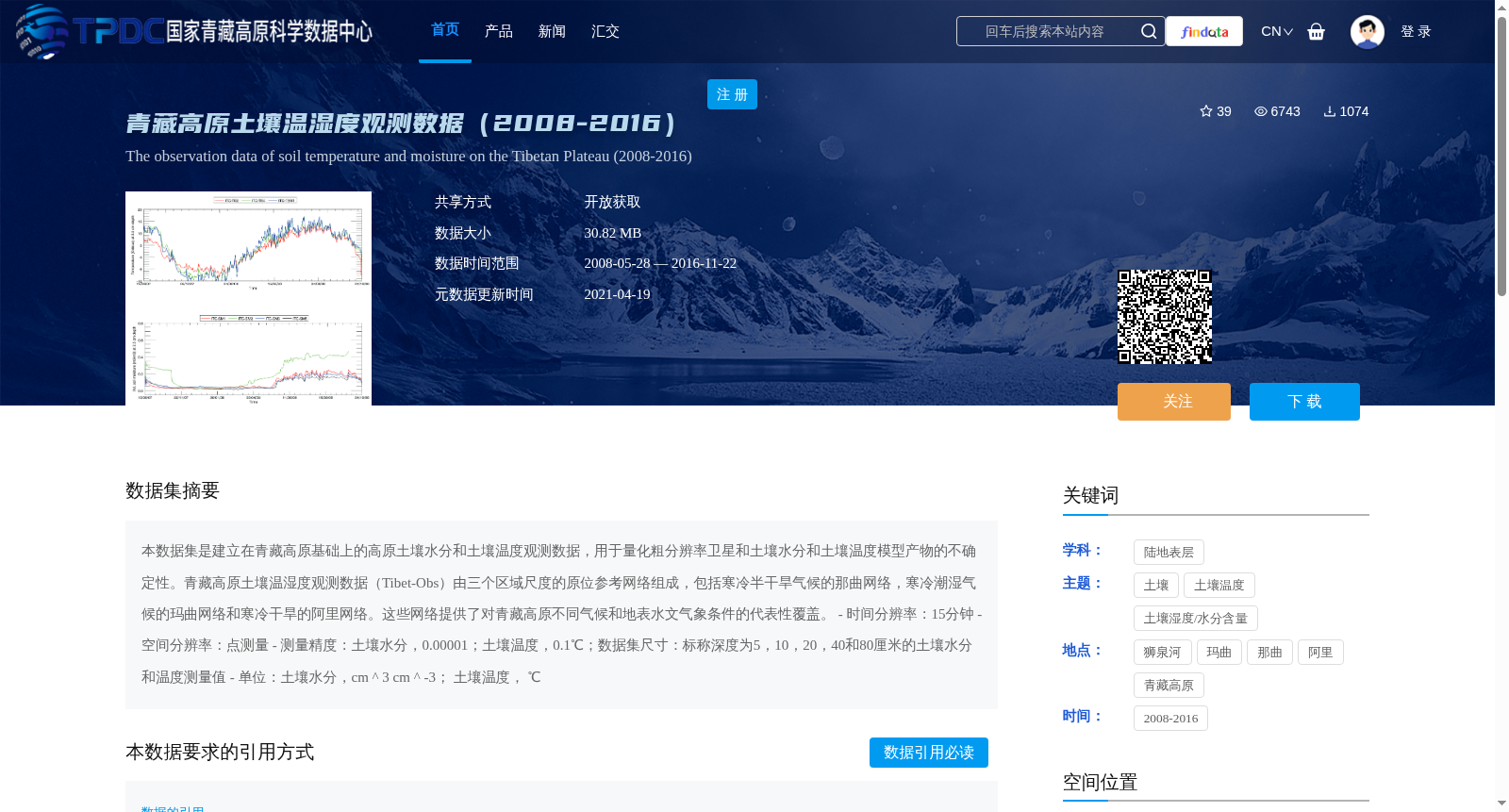
本数据集是建立在青藏高原基础上的高原土壤水分和土壤温度观测数据,用于量化粗分辨率卫星和土壤水分和土壤温度模型产物的不确定性。青藏高原土壤温湿度观测数据(Tibet-Obs)由三个区域尺度的原位参考网络组成,包括寒冷半干旱气候的那曲网络,寒冷潮湿气候的玛曲网络和寒冷干旱的阿里网络。这些网络提供了对青藏高原不同气候和地表水文气象条件的代表性覆盖。
- 时间分辨率:15分钟
- 空间分辨率:点测量
- 测量精度:土壤水分,0.00001;土壤温度,0.1℃;数据集尺寸:标称深度为5,10,20,40和80厘米的土壤水分和温度测量值
- 单位:土壤水分,cm ^ 3 cm ^ -3; 土壤温度, ℃
This dataset comprises in-situ observations of soil moisture and soil temperature over the Qinghai-Tibet Plateau, intended to quantify the uncertainties of coarse-resolution satellite and model-derived soil moisture and soil temperature products. The Qinghai-Tibet Plateau Soil Temperature and Moisture Observation Dataset (Tibet-Obs) is composed of three regional-scale in-situ reference networks: the Naqu Network (under cold semi-arid climate), the Maqu Network (under cold humid climate), and the Ali Network (under cold arid climate). These networks deliver representative coverage of varied climatic and surface hydro-meteorological conditions across the Qinghai-Tibet Plateau.
- Temporal resolution: 15 minutes
- Spatial resolution: Point measurements
- Measurement accuracy: Soil moisture, 0.00001; Soil temperature, 0.1℃; Dataset coverage: Soil moisture and temperature measurements at nominal depths of 5, 10, 20, 40 and 80 cm
- Units: Soil moisture, cm³ cm⁻³; Soil temperature, ℃
提供机构:
Bob Su
创建时间:
2018-07-26
搜集汇总
数据集介绍
背景与挑战
背景概述
该数据集包含2008年至2016年青藏高原三个不同气候区域的土壤温湿度观测数据,用于评估卫星和模型产品的准确性。数据以15分钟为时间分辨率,提供5至80厘米深度的土壤水分和温度测量,测量精度高,适用于水文气象研究。
以上内容由遇见数据集搜集并总结生成


