noamundi-rockfall-simulation-dataset
收藏资源简介:
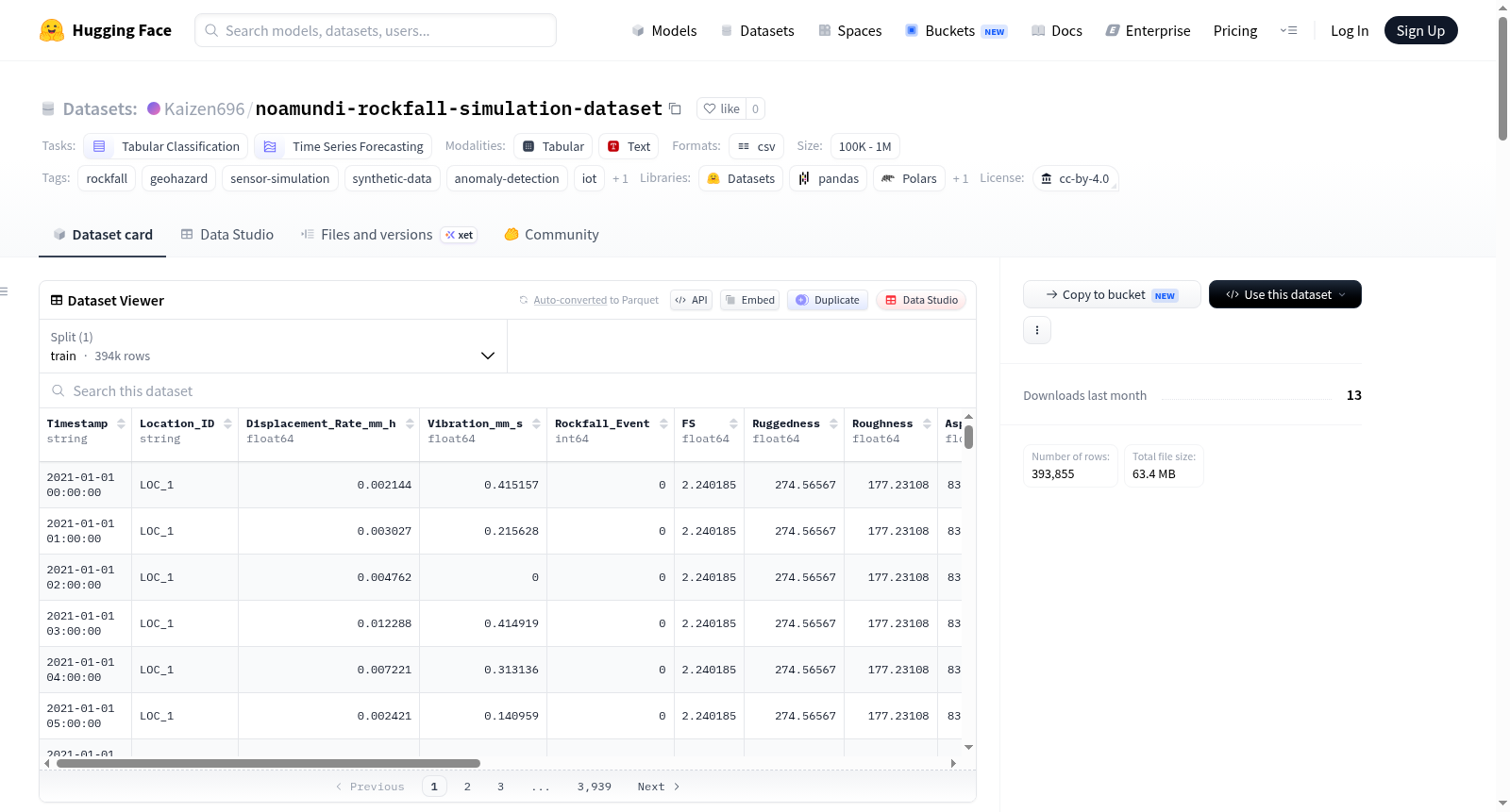
Noamundi岩石崩塌模拟数据集是一个物理信息模拟数据集,旨在模拟岩石崩塌前兆条件。该数据集结合了印度Noamundi矿区真实地形和天气数据与合成的物联网传感器读数及岩石崩塌事件标签。数据集包含393,855行每小时读数,覆盖2021年1月至2023年12月期间15个模拟监测位置,共标记75个岩石崩塌事件。数据字段包括时间戳、位置ID、模拟地面位移速率、模拟地面振动读数、岩石崩塌事件二元标签、安全系数(基于无限边坡稳定性模型计算)、真实地形特征(崎岖度、粗糙度、坡向、坡度)以及真实天气特征(最高温度、降水量、最大风速、短波辐射总和)和工程降雨总和特征。地形数据来自OpenTopography的数字高程模型,天气数据来自Open-Meteo API历史记录。传感器读数和事件标签为模拟生成,但位移速率受安全系数驱动,振动包含物理缩放的事件峰值,事件发生时间80%偏向低安全系数时段。该数据集专为岩石崩塌早期预警系统、前兆检测、异常检测和灾害分类研究设计,适用于二元分类、异常检测、前兆研究、跨位置泛化测试、特征消融研究以及不平衡罕见事件分类的方法基准测试。数据集为合成数据,不包含真实岩石崩塌事件记录,使用时需注意其模拟性质和已知局限性。
The Noamundi rockfall simulation dataset is a physics-informed simulation dataset designed to simulate precursor conditions for rockfalls. It integrates real terrain and weather data from the Noamundi mining area in India with synthetic IoT sensor readings and rockfall event labels. The dataset contains 393,855 rows of hourly readings, covering 15 simulated monitoring locations from January 2021 to December 2023, with 75 labeled rockfall events. Data fields include timestamp, location ID, simulated ground displacement rate, simulated ground vibration readings, binary rockfall event labels, safety factor (calculated based on an infinite slope stability model), real terrain features (ruggedness, roughness, aspect, slope), real weather features (maximum temperature, precipitation, maximum wind speed, sum of shortwave radiation), and engineered rainfall sum features. Terrain data is sourced from OpenTopographys digital elevation model, and weather data comes from the Open-Meteo API historical records. Sensor readings and event labels are synthetically generated, but the displacement rate is driven by the safety factor, vibrations include physically scaled event peaks, and event timing is biased 80% towards periods of low safety factor. This dataset is specifically designed for research on rockfall early warning systems, precursor detection, anomaly detection, and hazard classification, and is suitable for binary classification, anomaly detection, precursor studies, cross-location generalization tests, feature ablation studies, and benchmarking methods for imbalanced rare event classification. The dataset is synthetic and does not contain real rockfall event records; users should be aware of its simulated nature and known limitations.
Noamundi 岩石崩塌仿真数据集概述
基本信息
- 许可证:CC-BY-4.0
- 任务类别:表格分类、时间序列预测
- 数据集规模:100K 至 1M 行
- 标签:岩石崩塌、地质灾害、传感器仿真、合成数据、异常检测、物联网、物理信息驱动
数据内容
数据集包含 393,855 行 小时级记录,覆盖 15 个仿真监测点,时间跨度为 2021 年 1 月至 2023 年 12 月。共标注 75 次岩石崩塌事件,反映真实崩塌事件的极端稀有性。
核心列说明
| 列名 | 描述 |
|---|---|
Timestamp |
小时级时间戳 |
Location_ID |
仿真监测站标识(LOC_1 至 LOC_15) |
Displacement_Rate_mm_h |
模拟地面位移速率,由安全系数(FS)驱动的蠕变控制 |
Vibration_mm_s |
模拟地面振动读数,含物理缩放的事件峰值 |
Rockfall_Event |
二元标签,1 表示该时刻发生岩石崩塌事件 |
FS |
安全系数,基于无限边坡稳定性模型逐位置每小时计算 |
Ruggedness, Roughness, Aspect, Slope |
静态真实地形特征(来自数字高程模型) |
temperature_2m_max, precipitation_sum, windspeed_10m_max, shortwave_radiation_sum |
真实逐日天气特征 |
3_day_rainfall, 7_day_rainfall |
滚动降雨量总和(真实数据) |
真实与仿真成分
| 成分 | 状态 | 来源 |
|---|---|---|
| 地形特征(坡度、坡向、崎岖度、粗糙度) | 真实 | 来自 OpenTopography 的 DEM,经 QGIS 处理 |
| 天气特征(温度、降水、风、辐射、滚动降雨量) | 真实 | 来自 Open-Meteo API 的历史天气数据 |
| 安全系数(FS) | 物理推导 | 基于无限边坡稳定性模型,结合真实坡度和降雨孔隙水压力代理 |
| 传感器读数(位移率、振动) | 仿真(物理信息驱动) | 位移由 FS 驱动的蠕变生成,振动含物理缩放的事件峰值 |
| 岩石崩塌事件(标签与时间) | 仿真(物理加权) | 事件数量遵循泊松过程,80% 权重倾向低 FS 时刻 |
仿真构建流程
- 地形层:从 OpenTopography 获取 DEM,经 QGIS 提取坡度、坡向、崎岖度、粗糙度,每个位置为静态值。
- 天气层:从 Open-Meteo API 获取历史天气数据,并构建 3 天和 7 天滚动降雨量总和。
- 物理层(FS):使用无限边坡稳定性模型计算每个位置每小时的安全系数。干条件下基线 FS 在 1.5-2.5 之间,持续降雨时 FS 可降至 1.0 以下。
- 传感器层:位移由背景噪声和 FS 驱动的蠕变项构成;振动含背景噪声和事件触发峰值(按坡度和假设破坏质量缩放)。
- 事件层:每个位置事件数量服从泊松分布(λ=5),80% 事件位于低 FS 时刻(FS≤1.3),20% 随机分布。
- 整合层:所有层级合并为小时级主数据集。
已知局限
- 事件标签和传感器读数并非真实观测结果,模型需经真实数据验证。
- FS 计算使用单点无限边坡模型,忽略 3D 应力、空间地下水和裂隙力学效应。
- 事件总数受泊松过程控制,FS 与
Rockfall_Event标签的直接相关性较弱。 - 75 个正例分布于近 400,000 行数据,类别严重不平衡。
- 各位置事件数量为 2 至 10 不等,生成具有随机性。
- 约 1% 的传感器读数缺失,模拟现实传感器故障。
建议用途
- 二元分类:基于地形、天气、传感器和 FS 特征预测岩石崩塌风险。
- 异常检测:利用严重类别不平衡模拟真实部署场景。
- 前兆/预警研究:通过 FS 驱动的位移蠕变研究事件前的提前检测窗口。
- 跨位置泛化测试:评估模型在 15 个不同地形和 FS 基线位置的表现。
- 特征消融研究:比较仅使用地形、天气、传感器或 FS 输入的相对价值。
- 方法论基准测试:在半合成但物理驱动条件下进行不平衡稀有事件分类。
代码与可复现性
完整生成流水线已开源,包含 QGIS 地形提取工作流、Open-Meteo 天气获取脚本、基于 FS 的物理信息传感器仿真脚本、合并脚本及验证与绘图脚本。代码仓库:https://github.com/kaizen105/Rockfall_dataset
引用与许可
使用本数据集时请注明作者并说明其合成性质。数据集采用 CC-BY-4.0 许可发布。