青藏高原高山树线分布格局(2015)
收藏国家青藏高原科学数据中心2022-09-22 更新2024-03-01 收录
下载链接:
https://data.tpdc.ac.cn/zh-hans/data/4d83dca6-f63a-470a-a839-f0d4adadce60
下载链接
链接失效反馈官方服务:
资源简介:
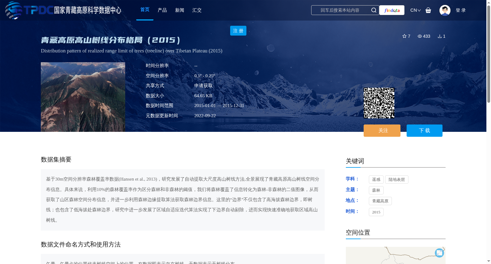
基于30m空间分辨率森林覆盖率数据(Hansen et al., 2013),研究发展了自动提取大尺度高山树线方法,全景展现了青藏高原高山树线空间分布信息。具体来说,利用10%的森林覆盖率作为区分森林和非森林的阈值,我们将森林覆盖了信息转化为森林-非森林的二值图像,从而获取了山区森林空间分布信息,并进一步利用森林边缘提取算法获取森林边界信息。这里的“边界”不仅包含了高海拔森林边界,即树线;也包含了低海拔处森林边界,研究中进一步发展了区域自适应迭代算法实现了下边界自动剔除,进而实现快速准确地获取区域高山树线。
Based on the 30-meter spatial resolution forest cover data (Hansen et al., 2013), this study developed an automated method for extracting large-scale alpine tree lines, and comprehensively mapped the spatial distribution of alpine tree lines on the Qinghai-Tibet Plateau. Specifically, using 10% forest cover as the threshold to distinguish forest from non-forest areas, we converted the forest cover information into a forest-non-forest binary image to obtain the spatial distribution of mountain forests, and further adopted forest edge extraction algorithms to acquire forest boundary information. The term "boundaries" here not only refers to the high-elevation forest boundaries, namely alpine tree lines, but also includes the low-elevation forest boundaries. In this study, we further developed a region-adaptive iterative algorithm to automatically remove the lower boundaries, thereby achieving rapid and accurate acquisition of regional alpine tree lines.
提供机构:
徐进峰,王晓昳,汪涛
创建时间:
2022-08-30
搜集汇总
数据集介绍
背景与挑战
背景概述
该数据集提供了2015年青藏高原高山树线的空间分布信息,基于30m森林覆盖率数据,通过自动提取方法生成,空间分辨率为0.1º - 0.25º。数据以矢量格式呈现,用于研究高山树线的分布格局。
以上内容由遇见数据集搜集并总结生成


