中国城市建成区数据集(1992-2020)V1.0
收藏国家青藏高原科学数据中心2022-10-19 更新2024-03-01 收录
下载链接:
https://data.tpdc.ac.cn/zh-hans/data/3100de5c-ac8d-4091-9bbf-6a02de100c88
下载链接
链接失效反馈官方服务:
资源简介:
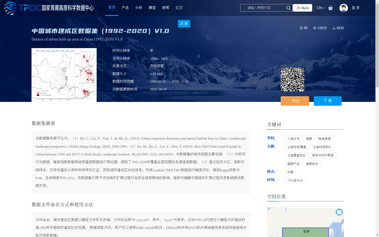
本数据集来源于论文:(1)He, C., Liu, Z., Tian, J., & Ma, Q., (2014). Urban expansion dynamics and natural habitat loss in China: a multiscale landscape perspective. Global change biology, 20(9), 2886-2902.(2)Xu, M., He, C., Liu, Z., Dou, Y. (2016). How Did Urban Land Expand in China between 1992 and 2015? A Multi-Scale Landscape Analysis. PLoS ONE 11(5): e0154839。本数据集的制作流程主要包括:(1)对夜间灯光数据、植被指数数据和地表温度数据进行预处理,得到了1992-2020年覆盖全国范围的多源遥感数据;(2)通过经济分区、选取训练样本、支持向量机分类和年际序列订正,获取城市建成区动态信息。利用Landsat TM/ETM+数据进行精度评价,得到Kappa系数为0.60,总体精度为92.62%。该数据集已用于评估城市扩展过程对自然生境和耕地的影响,能够为理解中国城市扩展过程及其影响提供数据支持。
This dataset is derived from the following two academic publications:
1. He, C., Liu, Z., Tian, J., & Ma, Q. (2014). Urban expansion dynamics and natural habitat loss in China: a multiscale landscape perspective. Global Change Biology, 20(9), 2886–2902.
2. Xu, M., He, C., Liu, Z., & Dou, Y. (2016). How Did Urban Land Expand in China between 1992 and 2015? A Multi-Scale Landscape Analysis. PLoS ONE, 11(5): e0154839.
The development workflow of this dataset is as follows:
1. Preprocess nighttime light data, vegetation index data and land surface temperature data to generate nationwide multi-source remote sensing datasets covering the period from 1992 to 2020.
2. Obtain dynamic urban built-up area information through economic zoning, training sample selection, support vector machine classification and inter-annual sequence correction.
Accuracy assessment was conducted using Landsat TM/ETM+ data, yielding a Kappa coefficient of 0.60 and an overall accuracy of 92.62%. This dataset has been applied to evaluate the impacts of urban expansion on natural habitats and arable land, and can provide data support for understanding the process of urban expansion in China and its associated impacts.
提供机构:
何春阳,刘志锋,许敏,卢文路
创建时间:
2022-10-07
搜集汇总
数据集介绍
背景与挑战
背景概述
该数据集是中国城市建成区的时空数据集,覆盖1992年至2020年,时间分辨率为年,空间分辨率为100米至1公里,基于多源遥感数据(如夜间灯光、植被指数和地表温度)通过支持向量机分类方法制作,总体精度为92.62%。数据集主要用于分析城市扩展过程及其对自然生境和耕地的影响,但需注意数据存在不连续性,缺少部分年份(如2011、2013、2014、2016-2019年)。
以上内容由遇见数据集搜集并总结生成


