
Post-Hurricane Damage Assessment Using Satellite Imagery and Geolocation Features
收藏DataCite Commons2025-06-02 更新2025-04-16 收录
下载链接:
https://www.designsafe-ci.org/data/browser/public/designsafe.storage.published/PRJ-2974
下载链接
链接失效反馈官方服务:
资源简介:
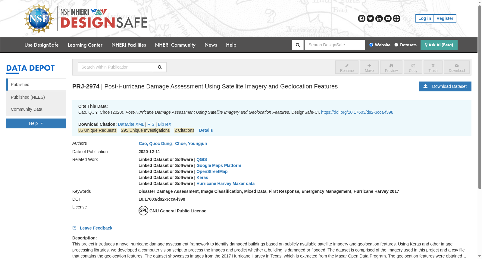
This project introduces a novel hurricane damage assessment framework to identify damaged buildings based on publicly available satellite imagery and geolocation features. Using Keras and other image processing libraries, we developed a computer vision script to process the images and predict whether a building is damaged or flooded. The dataset is comprised of the imagery used in this project and a csv file that contains the geolocation features. The dataset showcases images from the 2017 Hurricane Harvey in Texas, which is extracted from the Maxar Open Data Program. The geolocation features were obtained using OpenStreetMap API, Google Maps Platform, and QGIS. This dataset can be used to experiment with other damage assessment frameworks.
本项目提出了一种新颖的飓风破坏评估框架,可基于公开可用的卫星影像与地理定位特征识别受损建筑。我们依托Keras及其他图像处理库,开发了计算机视觉脚本以处理影像并预测建筑是否受损或受淹。本数据集包含本项目所用的影像文件,以及一份载有地理定位特征的CSV文件。该数据集收录了源自Maxar开放数据项目(Maxar Open Data Program)的2017年美国得克萨斯州哈维飓风相关影像,其地理定位特征通过开放街道地图API(OpenStreetMap API)、谷歌地图平台(Google Maps Platform)及QGIS获取。本数据集可用于其他破坏评估框架的相关实验研究。
提供机构:
Designsafe-CI
创建时间:
2020-12-02
搜集汇总
数据集介绍
背景与挑战
背景概述
该数据集包含2017年飓风哈维期间德克萨斯州的卫星图像和地理定位特征,用于开发基于计算机视觉的建筑损坏评估框架。数据集来源于Maxar开放数据计划,并结合了OpenStreetMap API、Google Maps Platform和QGIS获取的地理特征。
以上内容由遇见数据集搜集并总结生成



