东北地区森林地上碳密度空间分布(2020)
收藏国家青藏高原科学数据中心2022-09-27 更新2024-03-07 收录
下载链接:
https://data.tpdc.ac.cn/zh-hans/data/6572d4f2-5b81-47b6-a0c8-841da56c556a
下载链接
链接失效反馈官方服务:
资源简介:
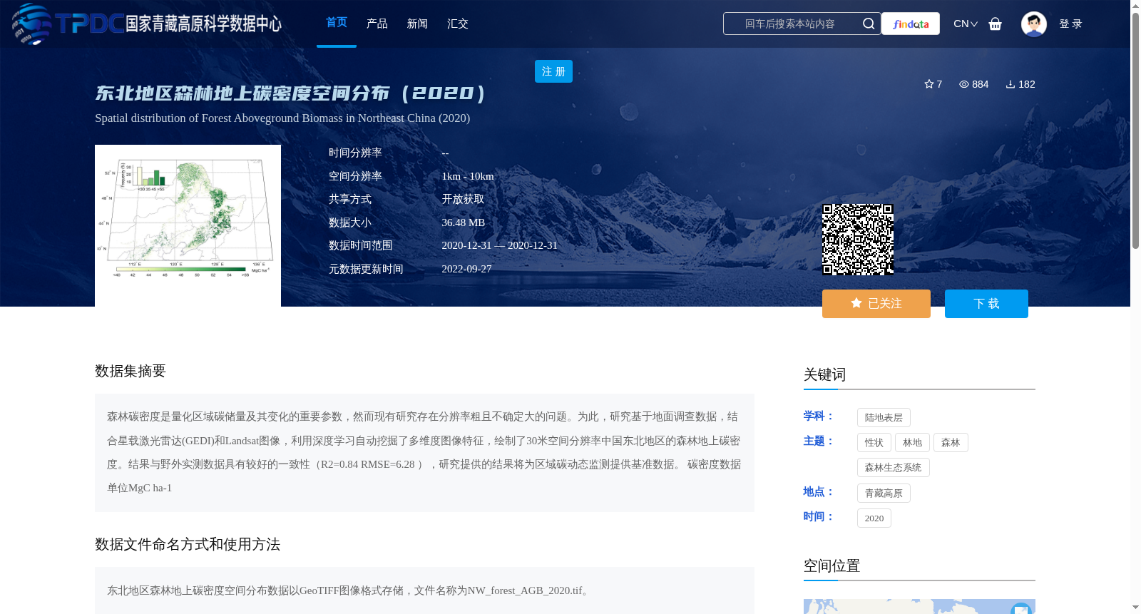
森林碳密度是量化区域碳储量及其变化的重要参数,然而现有研究存在分辨率粗且不确定大的问题。为此,研究基于地面调查数据,结合星载激光雷达(GEDI)和Landsat图像,利用深度学习自动挖掘了多维度图像特征,绘制了30米空间分辨率中国东北地区的森林地上碳密度。结果与野外实测数据具有较好的一致性(R2=0.84 RMSE=6.28 ),研究提供的结果将为区域碳动态监测提供基准数据。
碳密度数据单位MgC ha-1
Forest carbon density is a critical parameter for quantifying regional carbon stocks and their changes. However, existing studies suffer from issues of coarse spatial resolution and high uncertainty. To address this gap, this study utilized field survey data, combined with space-borne LiDAR (GEDI) and Landsat imagery, and employed deep learning to automatically extract multi-dimensional image features, thereby generating a map of aboveground forest carbon density in Northeast China with a spatial resolution of 30 meters. The results exhibit good consistency with field measured data (R²=0.84, RMSE=6.28). The findings of this study will provide benchmark data for regional carbon dynamic monitoring. The unit of carbon density data is MgC ha⁻¹.
提供机构:
王晓昳,汪涛,吕冠廷
创建时间:
2022-08-30
搜集汇总
数据集介绍
背景与挑战
背景概述
该数据集提供了2020年中国东北地区森林地上碳密度的30米高分辨率空间分布图,结合了地面调查、星载激光雷达和Landsat图像数据,通过深度学习技术生成。数据具有较高的准确性(R2=0.84,RMSE=6.28),适用于区域碳储量量化与动态监测研究。
以上内容由遇见数据集搜集并总结生成


