青藏高原及周边地区孕灾、致灾、承灾数据集
收藏国家青藏高原科学数据中心2023-02-20 更新2024-03-01 收录
下载链接:
https://data.tpdc.ac.cn/zh-hans/data/11874810-13b1-4614-9159-9691370cdf2e
下载链接
链接失效反馈官方服务:
资源简介:
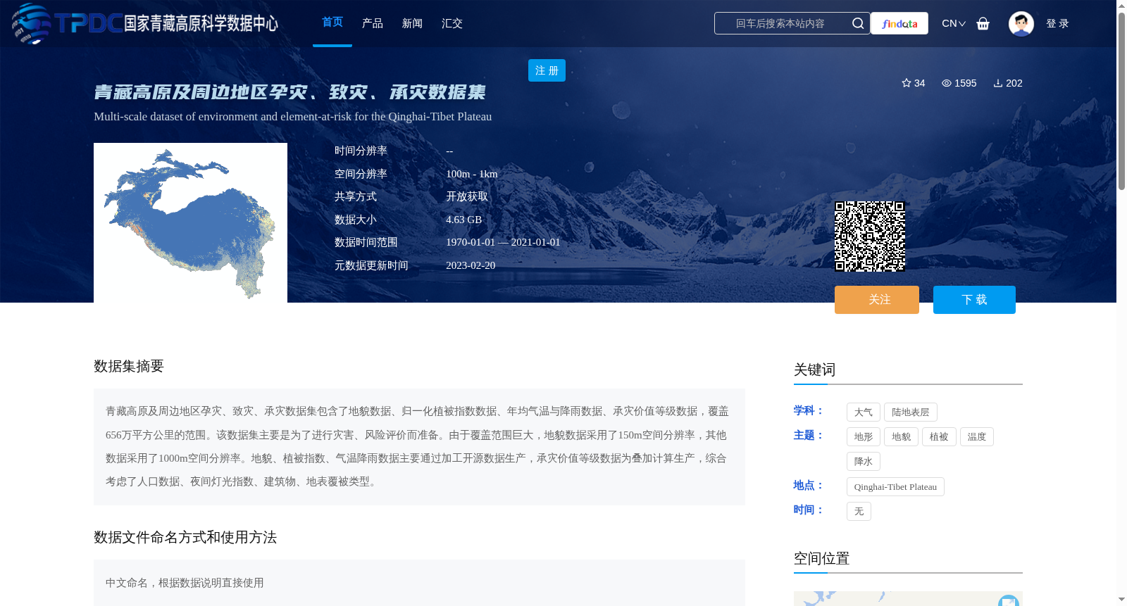
青藏高原及周边地区孕灾、致灾、承灾数据集包含了地貌数据、归一化植被指数数据、年均气温与降雨数据、承灾价值等级数据,覆盖656万平方公里的范围。该数据集主要是为了进行灾害、风险评价而准备。由于覆盖范围巨大,地貌数据采用了150m空间分辨率,其他数据采用了1000m空间分辨率。地貌、植被指数、气温降雨数据主要通过加工开源数据生产,承灾价值等级数据为叠加计算生产,综合考虑了人口数据、夜间灯光指数、建筑物、地表覆被类型。
The dataset covering hazard-forming, hazard-triggering and hazard-bearing elements over the Qinghai-Tibet Plateau and its surrounding areas includes geomorphic data, Normalized Difference Vegetation Index (NDVI) data, annual mean temperature and precipitation data, and hazard-bearing value grade data, spanning an area of 6.56 million square kilometers. This dataset is primarily developed to support disaster and risk assessment. Given the vast spatial coverage, the geomorphic data adopts a spatial resolution of 150 m, while all other datasets use a spatial resolution of 1000 m. Geomorphic, NDVI, temperature and precipitation data are mainly produced by processing open-source datasets, whereas the hazard-bearing value grade data is generated via overlay calculation, which comprehensively considers population data, nighttime light index, building distribution and land cover types.
提供机构:
唐晨晓
创建时间:
2022-05-17
搜集汇总
数据集介绍
背景与挑战
背景概述
该数据集是一个多尺度环境与风险要素数据集,覆盖青藏高原及周边656万平方公里区域,包含地貌、植被指数、气温降雨和承灾价值等级数据,主要用于灾害风险评价。数据空间分辨率分别为150米(地貌)和1000米(其他),基于开源数据加工和叠加计算生产,时间范围从1970年至2021年。
以上内容由遇见数据集搜集并总结生成


