喜马拉雅山区冰川分布(2017)
收藏国家青藏高原科学数据中心2023-04-18 更新2024-03-06 收录
下载链接:
https://data.tpdc.ac.cn/zh-hans/data/cc45c6b7-e8c1-49ab-8f88-15830e19fdfa
下载链接
链接失效反馈官方服务:
资源简介:
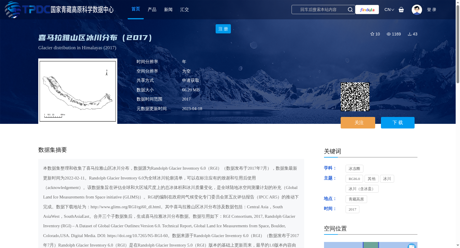
本数据集整理和收集了喜马拉雅山区冰川分布,数据源为Randolph Glacier Inventory 6.0(RGI)(数据发布于2017年7月),数据集最新更新时间为2022-02-11。Randolph Glacier Inventory 6.0为全球冰川轮廓清单,可以在标注应有的致谢和引用后使用(acknowledgement)。该数据集旨在评估全球和大区域尺度上的总冰体积和冰川质量变化,是全球陆地冰空间测量计划的补充(Global Land Ice Measurements from Space initiative (GLIMS))。RGI的编制在政府间气候变化专门委员会第五次评估报告(IPCC AR5)的推动下完成。数据下载地址为:http://www.glims.org/RGI/rgi60_dl.html。其中喜马拉雅山区冰川分布涉及数据包括:Central Asia,South AsiaWest,SouthAsiaEast。合并三个子数据集后,生成喜马拉雅冰川分布数据。数据引用如下:RGI Consortium, 2017, Randolph Glacier Inventory (RGI) – A Dataset of Global Glacier Outlines:Version 6.0. Technical Report, Global Land Ice Measurements from Space, Boulder, Colorado,USA. Digital Media. DOI: https://doi.org/10.7265/N5-RGI-60。数据来源于Randolph Glacier Inventory 6.0(RGI)(数据发布于2017年7月)Randolph Glacier Inventory 6.0(RGI)是在Randolph Glacier Inventory 5.0(RGI)版本的基础上更新而来,最早的1.0版本内容由多个机构和组织共同完成,Central Asia 5.0版本与6.0版本没有更新。最早的1.0版本中大部分由中国第一次冰川编目组成(Shi et al.,2009)。South Aria West区域被GLIMS数据库覆盖(Raup et al., 2007);South Asia East最早被GLIMS数据库覆盖(Raup et al., 2007)。质量控制:(1)ArcGIS修复几何,对所有多边形进行检查。检查多边形的闭合情况,消除重复顶点。(2)去除面积小于0.01km2的冰川。(3)拓扑检查,删除或校正对冰川边界调整时出现的重叠、间隙等。(4)利用Fortran子程序与Python对属性表进行检查。
This dataset compiles and collects glacier distribution data in the Himalayas, with the data source being Randolph Glacier Inventory 6.0 (RGI), which was released in July 2017. The latest update date of this dataset is 2022-02-11.
The Randolph Glacier Inventory 6.0 is a global glacier outline inventory, which can be used with proper acknowledgement and citation. This dataset aims to assess total ice volume and glacier mass changes at global and large regional scales, and serves as a supplement to the Global Land Ice Measurements from Space initiative (GLIMS). The compilation of RGI was promoted by the Fifth Assessment Report of the Intergovernmental Panel on Climate Change (IPCC AR5).
The data download address is: http://www.glims.org/RGI/rgi60_dl.html.
The glacier distribution data for the Himalayas involved in this dataset includes three subsets: Central Asia, South Asia West, and South Asia East. The Himalayan glacier distribution dataset is generated by merging these three sub-datasets.
The data citation is as follows: RGI Consortium, 2017, Randolph Glacier Inventory (RGI) – A Dataset of Global Glacier Outlines: Version 6.0. Technical Report, Global Land Ice Measurements from Space, Boulder, Colorado, USA. Digital Media. DOI: https://doi.org/10.7265/N5-RGI-60.
The data is sourced from Randolph Glacier Inventory 6.0 (RGI), released in July 2017. Randolph Glacier Inventory 6.0 (RGI) is updated based on the version 5.0 of Randolph Glacier Inventory. The earliest version 1.0 was jointly completed by multiple institutions and organizations. No updates were made to the Central Asia subset between version 5.0 and 6.0. Most of the content in the initial version 1.0 was composed of the First Chinese Glacier Inventory (Shi et al., 2009). The South Asia West region was covered by the GLIMS database (Raup et al., 2007); the South Asia East region was also initially covered by the GLIMS database (Raup et al., 2007).
Quality control measures:
1. Geometry repair using ArcGIS: check all polygons, verify their closure, and eliminate duplicate vertices.
2. Remove glaciers with an area smaller than 0.01 km².
3. Topological check: delete or correct overlaps, gaps, and other issues that occur during glacier boundary adjustment.
4. Check the attribute table using Fortran subroutines and Python.
提供机构:
杨冬冬
创建时间:
2023-02-23
搜集汇总
数据集介绍
背景与挑战
背景概述
该数据集提供了2017年喜马拉雅山区冰川的分布情况,数据来源于Randolph Glacier Inventory 6.0,旨在支持全球冰川变化研究。数据集经过严格质量控制,使用需遵守引用和数据共享协议。
以上内容由遇见数据集搜集并总结生成


