若尔盖高原1km逐月气温和降水数据集(1980-2018)
收藏国家青藏高原科学数据中心2023-04-05 更新2024-03-01 收录
下载链接:
https://data.tpdc.ac.cn/zh-hans/data/594c8dc4-d52b-4fd3-8e05-f9ba18903aec
下载链接
链接失效反馈官方服务:
资源简介:
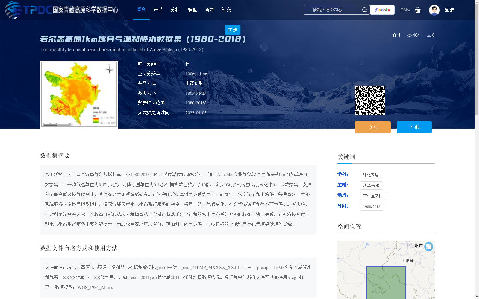
基于研究区内中国气象局气象数据共享中心1980-2018年的日尺度温度和降水数据,通过Anusplin专业气象软件插值获得1km分辨率空间数据集。月平均气温单位为0.1摄氏度,月降水量单位为0.1毫米(栅格数值扩大了10倍,除以10就分别为摄氏度和毫米)。 该数据集可支撑若尔盖高原区域气候变化及其对湿地生态系统影研究。通过空间数据集对生态系统生产、碳固定、水文调节和土壤保持等典型水土生态系统服务时空格局模型模拟,揭示流域尺度水土生态系统服务时空变化格局,结合气候变化、社会经济数据和生态环境保护政策实施、土地利用转变等因素,将权衡分析和结构方程模型结合定量这些基于水土过程的水土生态系统服务的权衡与协同关系,识别流域尺度典型水土生态系统服务主要的驱动力,为若尔盖湿地更加有效、更加科学的生态保护与多目标的土地利用优化管理提供理论支撑。
This 1-kilometer resolution spatial dataset was generated via interpolation using the professional meteorological software Anusplin, based on daily-scale temperature and precipitation data from 1980 to 2018 provided by the China Meteorological Administration (CMA) Meteorological Data Sharing Center within the study area. The unit of monthly average temperature is 0.1 degrees Celsius, and the unit of monthly precipitation is 0.1 millimeters (the raster values have been multiplied by 10; divide by 10 to obtain the actual values in degrees Celsius and millimeters, respectively). This dataset can support research on regional climate change in the Zoige Plateau and its impacts on wetland ecosystems. Using this spatial dataset to model the spatio-temporal patterns of typical soil-water ecosystem services such as ecosystem production, carbon sequestration, hydrological regulation, and soil conservation, this study reveals the spatio-temporal variation patterns of soil-water ecosystem services at the watershed scale. By combining climate change, socio-economic data, the implementation of ecological and environmental protection policies, land use conversion and other factors, combined with trade-off analysis and structural equation modeling, it quantitatively analyzes the trade-off and synergistic relationships of soil-water ecosystem services based on soil-water processes, identifies the main driving forces of typical soil-water ecosystem services at the watershed scale, and provides theoretical support for more effective and scientific ecological protection and multi-objective optimal land use management of the Zoige Wetland.
提供机构:
胡健
创建时间:
2021-04-27
搜集汇总
数据集介绍
背景与挑战
背景概述
该数据集提供了若尔盖高原地区1980年至2018年逐月的气温和降水数据,空间分辨率为1公里,基于中国气象局气象数据并通过Anusplin软件插值生成,数据单位为0.1摄氏度和0.1毫米。它主要用于支持区域气候变化和湿地生态系统影响研究,包括生态系统服务模拟和驱动力分析,数据以geotiff格式存储,投影为WGS_1984_Albers,需申请获取。
以上内容由遇见数据集搜集并总结生成


