
Global USDA-NRCS soil texture class map
收藏DataONE2022-04-15 更新2024-06-08 收录
下载链接:
https://search.dataone.org/view/sha256:a6e6ab600a42675c3d9cc8de508124a249e1ea5cd7038c1bd89fea7e4f503af8
下载链接
链接失效反馈官方服务:
资源简介:
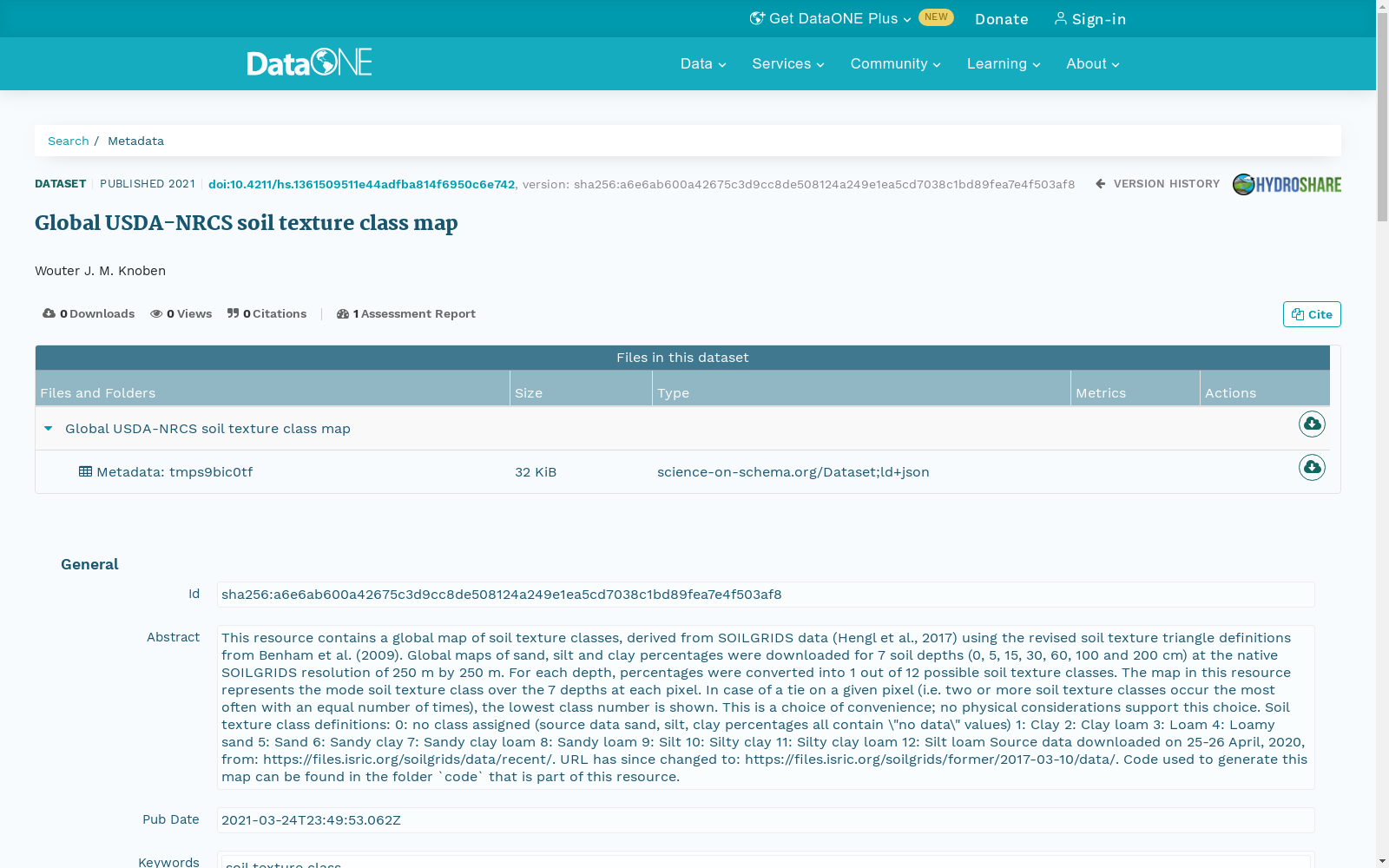
This resource contains a global map of soil texture classes, derived from SOILGRIDS data (Hengl et al., 2017) using the revised soil texture triangle definitions from Benham et al. (2009). Global maps of sand, silt and clay percentages were downloaded for 7 soil depths (0, 5, 15, 30, 60, 100 and 200 cm) at the native SOILGRIDS resolution of 250 m by 250 m. For each depth, percentages were converted into 1 out of 12 possible soil texture classes. The map in this resource represents the mode soil texture class over the 7 depths at each pixel. In case of a tie on a given pixel (i.e. two or more soil texture classes occur the most often with an equal number of times), the lowest class number is shown. This is a choice of convenience; no physical considerations support this choice.
Soil texture class definitions:
0: no class assigned (source data sand, silt, clay percentages all contain \"no data\" values)
1: Clay
2: Clay loam
3: Loam
4: Loamy sand
5: Sand
6: Sandy clay
7: Sandy clay loam
8: Sandy loam
9: Silt
10: Silty clay
11: Silty clay loam
12: Silt loam
Source data downloaded on 25-26 April, 2020, from: https://files.isric.org/soilgrids/data/recent/. URL has since changed to: https://files.isric.org/soilgrids/former/2017-03-10/data/. Code used to generate this map can be found in the folder `code` that is part of this resource.
本数据集包含一套基于SOILGRIDS数据集(Hengl等,2017)生成的全球土壤质地类型分布图,其采用Benham等(2009)修订的土壤质地三角分类标准。我们下载了7个土壤深度(0、5、15、30、60、100、200 cm)下的全球砂粒、粉粒及粘粒百分比分布图,分辨率与SOILGRIDS原生分辨率一致,为250 m × 250 m。针对每个深度层,将各粒级百分比转换为12种预设土壤质地类型之一。本数据集的分布图展示了每个像元在7个深度层下出现频次最高的土壤质地类型(即众数类型)。若单个像元出现众数平票的情况(即存在两种及以上土壤质地类型频次相同且均为最高),则选取编号最小的类型进行标注。该选择仅为便于处理,并无物理层面的依据。
土壤质地类型定义如下:
0:未分配类型(源数据中砂粒、粉粒、粘粒百分比均包含“无数据”值)
1:粘粒(Clay)
2:粘壤土(Clay loam)
3:壤土(Loam)
4:壤质砂土(Loamy sand)
5:砂粒(Sand)
6:砂质粘粒(Sandy clay)
7:砂质粘壤土(Sandy clay loam)
8:砂质壤土(Sandy loam)
9:粉粒(Silt)
10:粉砂质粘粒(Silty clay)
11:粉砂质粘壤土(Silty clay loam)
12:粉砂壤土(Silt loam)
源数据于2020年4月25-26日从https://files.isric.org/soilgrids/data/recent/ 下载,该链接现已更新为:https://files.isric.org/soilgrids/former/2017-03-10/data/。用于生成该分布图的代码可在本数据集附带的`code`文件夹中获取。
创建时间:
2022-04-15
搜集汇总
数据集介绍
以上内容由遇见数据集搜集并总结生成



