
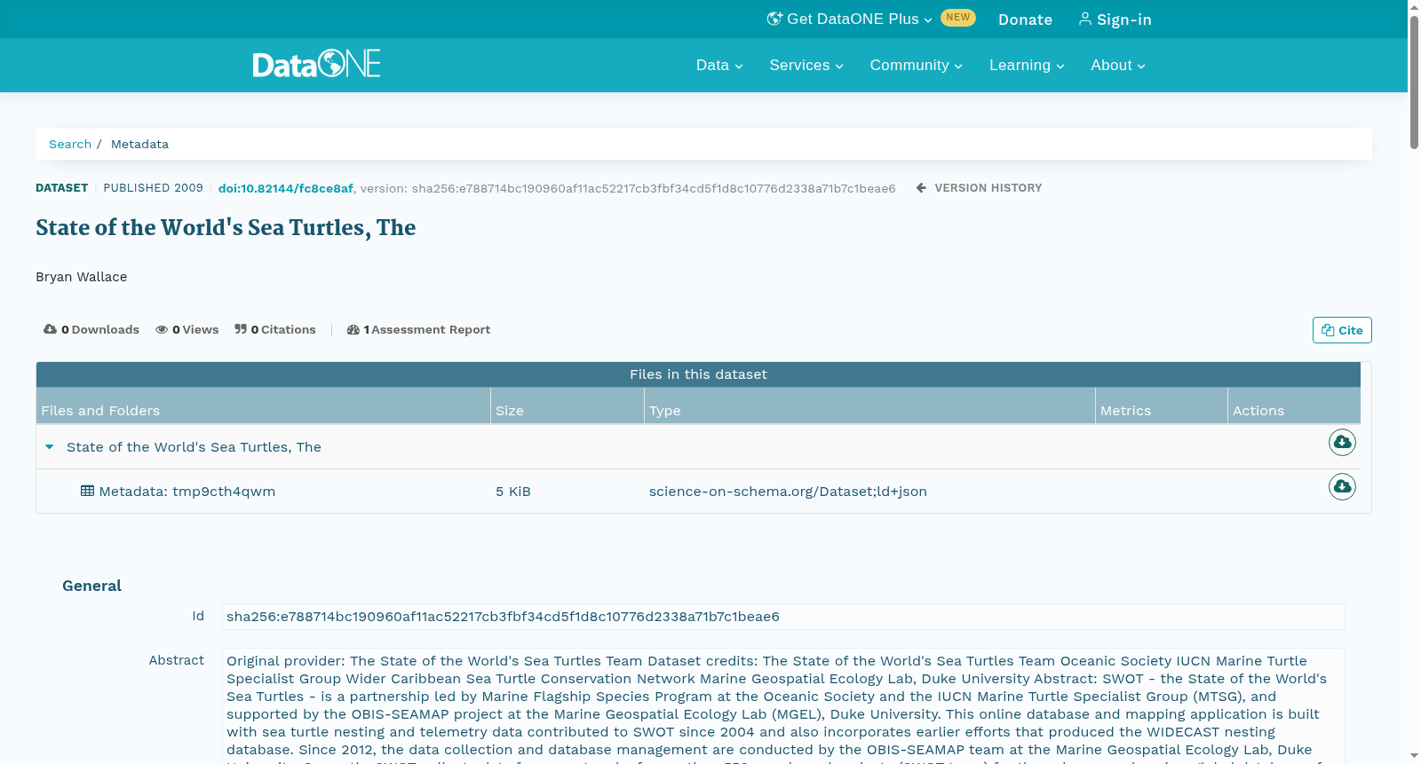
State of the World's Sea Turtles, The
收藏DataONE2025-08-29 更新2025-09-06 收录
下载链接:
https://search.dataone.org/view/sha256:e788714bc190960af11ac52217cb3fbf34cd5f1d8c10776d2338a71b7c1beae6
下载链接
链接失效反馈官方服务:
资源简介:
Original provider:
The State of the World's Sea Turtles Team
Dataset credits:
The State of the World's Sea Turtles Team
Oceanic Society
IUCN Marine Turtle Specialist Group
Wider Caribbean Sea Turtle Conservation Network
Marine Geospatial Ecology Lab, Duke University
Abstract:
SWOT - the State of the World's Sea Turtles - is a partnership led by Marine Flagship Species Program at the Oceanic Society and the IUCN Marine Turtle Specialist Group (MTSG), and supported by the OBIS-SEAMAP project at the Marine Geospatial Ecology Lab (MGEL), Duke University. This online database and mapping application is built with sea turtle nesting and telemetry data contributed to SWOT since 2004 and also incorporates earlier efforts that produced the WIDECAST nesting database. Since 2012, the data collection and database management are conducted by the OBIS-SEAMAP team at the Marine Geospatial Ecology Lab, Duke University.
Currently, SWOT collects data from a network of more than 550 people and projects (SWOT team) for the only comprehensive, global database of sea turtle nesting sites and satellite telemetry data. The SWOT team has provided global nesting locations and satellite telemetry data of all seven marine turtle species: green, leatherback, loggerhead, hawksbill, flatback, olive ridley, and Kemp's ridley. These data have been highlighted here and in annual SWOT reports, available freely in print and online. Furthermore, SWOT supports recommendations for monitoring effort schemes (minimum data standards or MDS) that will allow for comparison of long-term nesting abundance and trend estimates for regional and global populations of sea turtle species. All data contributed to SWOT must include MDS level information to facilitate a standardized global monitoring system for sea turtles.
In addition to collating sea turtle nesting and telemetry data, SWOT provides other geospatial sea turtle data, including species regional management units, georeferenced sea turtle mtDNA and nDNA sampling sites, and a nesting habitat suitability layer. These files can be viewed and downloaded for analyses from the SWOT mapping application (http://seamap.env.duke.edu/swot) once the OBIS-SEAMAP Terms of Use are agreed upon.
原始提供方:全球海龟状况团队
数据集贡献方:全球海龟状况团队、海洋协会、国际自然保护联盟(IUCN)海龟专家小组、加勒比海宽域海龟保护网络、杜克大学海洋空间生态实验室
摘要:
SWOT即全球海龟状况数据库(State of the World's Sea Turtles,缩写SWOT),由海洋协会旗舰物种项目与国际自然保护联盟(IUCN)海龟专家小组(Marine Turtle Specialist Group,MTSG)牵头合作,得到杜克大学海洋空间生态实验室(Marine Geospatial Ecology Lab,MGEL)的OBIS-SEAMAP项目支持。本在线数据库与制图应用整合了2004年以来提交至SWOT的海龟筑巢与遥测数据,同时纳入了此前构建WIDECAST筑巢数据库的相关研究成果。自2012年起,数据收集与数据库管理工作由杜克大学海洋空间生态实验室的OBIS-SEAMAP团队负责。
目前,SWOT依托由550余名人员与项目组成的SWOT协作网络,打造了全球首个覆盖全面的海龟筑巢位点与卫星遥测数据综合数据库。SWOT团队已收录全部7种海龟的全球筑巢点位与卫星遥测数据,分别为绿海龟、棱皮龟、蠵龟、玳瑁、平背龟、橄榄丽龟与肯普氏丽龟。这些数据已在本报告及年度SWOT报告中予以展示,相关报告可通过印刷版与线上渠道免费获取。此外,SWOT支持制定监测方案标准(即最低数据标准,Minimum Data Standards,MDS),以实现对海龟物种种群区域及全球尺度的长期筑巢丰度与趋势估算进行跨尺度对比。所有提交至SWOT的数据均需包含最低数据标准层级的信息,以推动建立标准化的全球海龟监测体系。
除整合海龟筑巢与遥测数据外,SWOT还提供其他地理空间海龟相关数据,包括物种种群区域管理单元、带地理坐标的海龟线粒体DNA(mtDNA)与核DNA(nDNA)采样位点,以及筑巢栖息地适宜性图层。用户在同意OBIS-SEAMAP使用条款后,即可通过SWOT制图应用(http://seamap.env.duke.edu/swot)查看并下载这些文件用于相关分析。
创建时间:
2025-09-02
搜集汇总
数据集介绍
以上内容由遇见数据集搜集并总结生成



