全球10m分辨率红树林(2020)
收藏国家青藏高原科学数据中心2023-05-30 更新2024-03-06 收录
下载链接:
https://data.tpdc.ac.cn/zh-hans/data/cd945e3f-c724-4988-a9fb-c607b14316c1
下载链接
链接失效反馈官方服务:
资源简介:
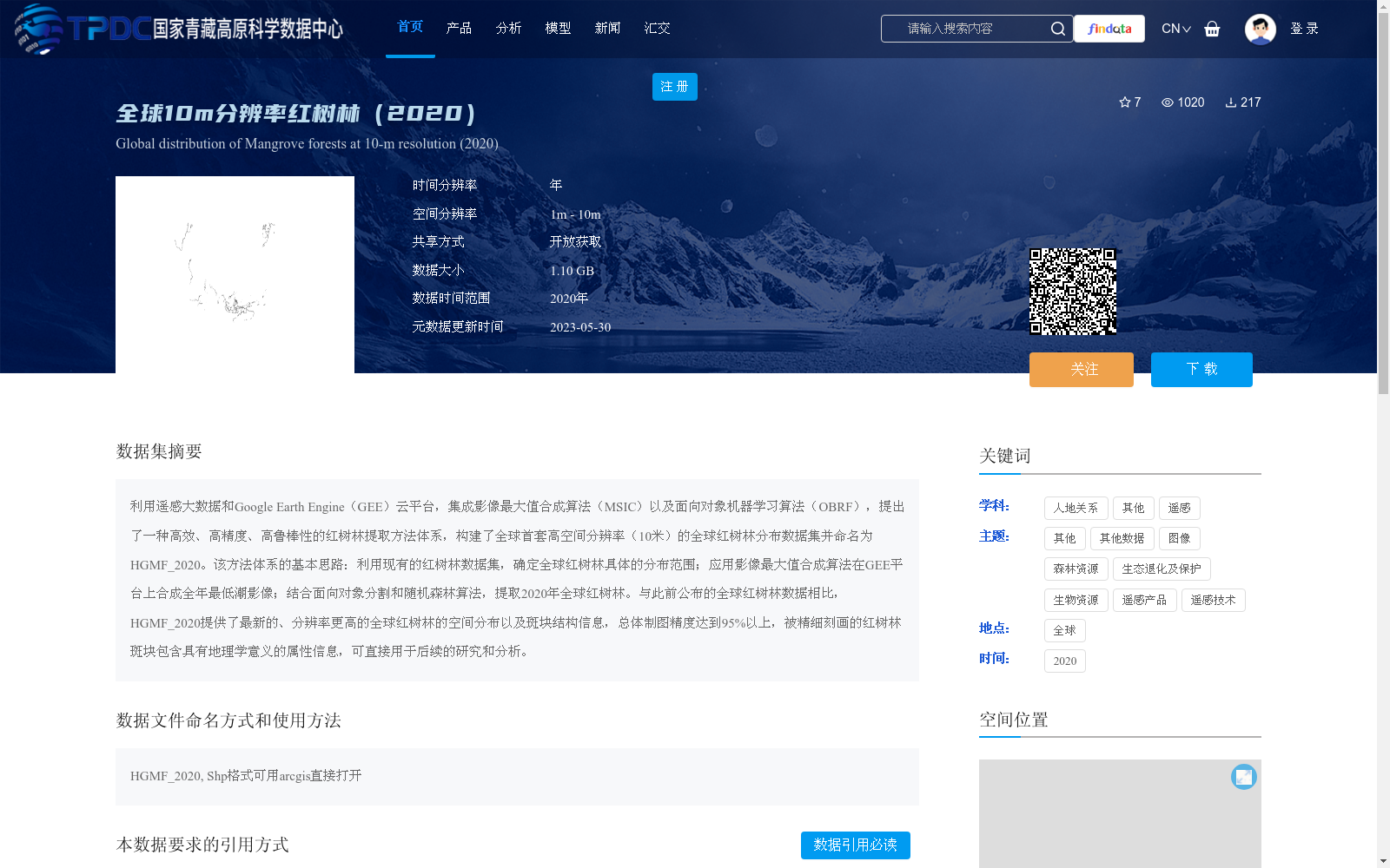
利用遥感大数据和Google Earth Engine(GEE)云平台,集成影像最大值合成算法(MSIC)以及面向对象机器学习算法(OBRF),提出了一种高效、高精度、高鲁棒性的红树林提取方法体系,构建了全球首套高空间分辨率(10米)的全球红树林分布数据集并命名为HGMF_2020。该方法体系的基本思路:利用现有的红树林数据集,确定全球红树林具体的分布范围;应用影像最大值合成算法在GEE平台上合成全年最低潮影像;结合面向对象分割和随机森林算法,提取2020年全球红树林。与此前公布的全球红树林数据相比,HGMF_2020提供了最新的、分辨率更高的全球红树林的空间分布以及斑块结构信息,总体制图精度达到95%以上,被精细刻画的红树林斑块包含具有地理学意义的属性信息,可直接用于后续的研究和分析。
Leveraging remote sensing big data and the Google Earth Engine (GEE) cloud platform, and integrating the Image Maximum Value Synthetic Composite (MSIC) algorithm and the object-based machine learning algorithm (OBRF), this study proposes an efficient, high-precision, and highly robust mangrove extraction methodology, and constructs the world's first global mangrove distribution dataset with 10-meter high spatial resolution, named HGMF_2020. The core workflow of this methodology is as follows: first, use existing mangrove datasets to define the precise global distribution range of mangroves; second, apply the MSIC algorithm on the GEE platform to synthesize annual lowest-tide composite images; third, combine object-oriented segmentation and random forest algorithms to extract global mangrove distributions for the year 2020. Compared with previously published global mangrove datasets, HGMF_2020 provides the latest, higher-resolution spatial distribution and patch structure information of global mangroves, with an overall mapping accuracy exceeding 95%, and the finely delineated mangrove patches carry geographically meaningful attribute information that can be directly used for subsequent research and analysis.
提供机构:
贾明明
创建时间:
2023-05-30
搜集汇总
数据集介绍
背景与挑战
背景概述
该数据集是全球首套10米高空间分辨率的红树林分布数据,覆盖2020年全球范围,通过遥感大数据和先进算法提取,总体制图精度超过95%。它提供了精细的红树林斑块结构和属性信息,适用于生态保护和地理研究,并以开放获取方式共享。
以上内容由遇见数据集搜集并总结生成


