南师大仙林北区激光点云数据集(20220728)
收藏国家地球系统科学数据中心2025-10-29 更新2024-03-04 收录
下载链接:
https://www.geodata.cn/data/datadetails.html?dataguid=94056593270050&docId=725
下载链接
链接失效反馈官方服务:
资源简介:
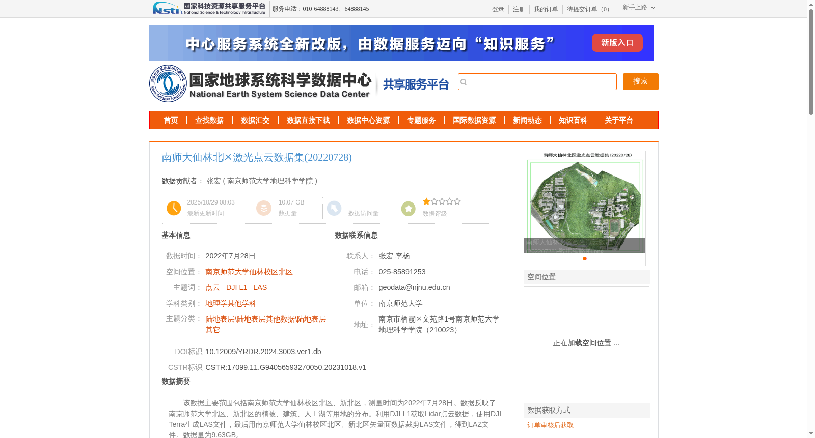
该数据主要范围包括南京师范大学仙林校区北区、新北区,测量时间为2022年7月28日。数据反映了南京师范大学北区、新北区的植被、建筑、人工湖等用地的分布。利用DJI L1获取Lidar点云数据,使用DJI Terra生成LAS文件,最后用南京师范大学仙林校区北区、新北区矢量面数据裁剪LAS文件,得到LAZ文件。数据量为9.63GB。
This dataset covers the northern and new northern areas of the Xianlin Campus of Nanjing Normal University, with data collected on July 28, 2022. The data reflects the distribution of land use types such as vegetation, buildings, and artificial lakes in these areas. Lidar point cloud data was acquired using a DJI L1 system, then LAS files were generated with DJI Terra software. Finally, the LAS files were clipped using the vector polygon dataset of the northern and new northern areas of the Xianlin Campus of Nanjing Normal University to obtain LAZ format files. The total data volume is 9.63 GB.
提供机构:
南京师范大学地理科学学院
创建时间:
2023-10-18
搜集汇总
数据集介绍
背景与挑战
背景概述
该数据集为南京师范大学仙林校区北区的激光点云数据,采集于2022年7月28日,使用DJI L1设备获取,数据量为9.63GB,覆盖植被、建筑、人工湖等用地分布,适用于地理学相关研究。
以上内容由遇见数据集搜集并总结生成


