南京市低空经济产业园建设期低空影像信息数据集
收藏江苏数据知识产权登记系统2025-07-02 更新2025-07-25 收录
下载链接:
https://dataip.jsipp.cn/#/changeDetialCertical?pType=登记&cType=登记&id=ba58261d6222c98f50b776c7b0ecacea
下载链接
链接失效反馈官方服务:
资源简介:
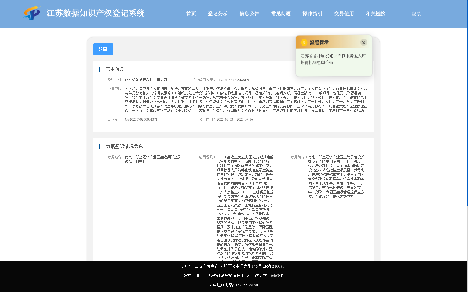
南京市低空经济产业园正处于建设关键期,园区规划范围广、建设进度快、涉及项目多。为全面掌握园区建设动态,精准把控建设质量,我司利用先进的航模航拍技术,采集了园区低空影像信息数据集。该数据集涵盖园区内土地平整、基础设施搭建、建筑施工、交通规划等多个建设环节的实时影像,为园区建设管理提供全方位、多维度的可视化数据支持
Nanjing Low-Altitude Economic Industrial Park is currently in a critical construction phase, featuring a large planning scope, rapid construction progress and numerous involved projects. To comprehensively grasp the construction dynamics of the park and accurately control construction quality, our company has collected a low-altitude aerial image dataset of the park using advanced model aircraft aerial photography technology. This dataset covers real-time images of multiple construction stages including land leveling, infrastructure construction, building construction and traffic planning within the park, providing all-round and multi-dimensional visual data support for park construction management.
提供机构:
南京领航航模科技有限公司
搜集汇总
数据集介绍
背景与挑战
背景概述
该数据集由南京领航航模科技有限公司采集,专注于南京市低空经济产业园建设期的低空影像信息,涵盖土地平整、基础设施搭建、建筑施工等环节的实时视觉数据。其主要应用包括建设进度监测、工程质量把控、规划调整、安全监管和宣传推广,为园区管理提供多维度的可视化支持。数据集以MP4和JPG格式存储,适用于数据采集、处理和分析技术场景。
以上内容由遇见数据集搜集并总结生成


