全球海洋叶绿素浓度8天平均遥感数据集(2019年)
收藏资源简介:
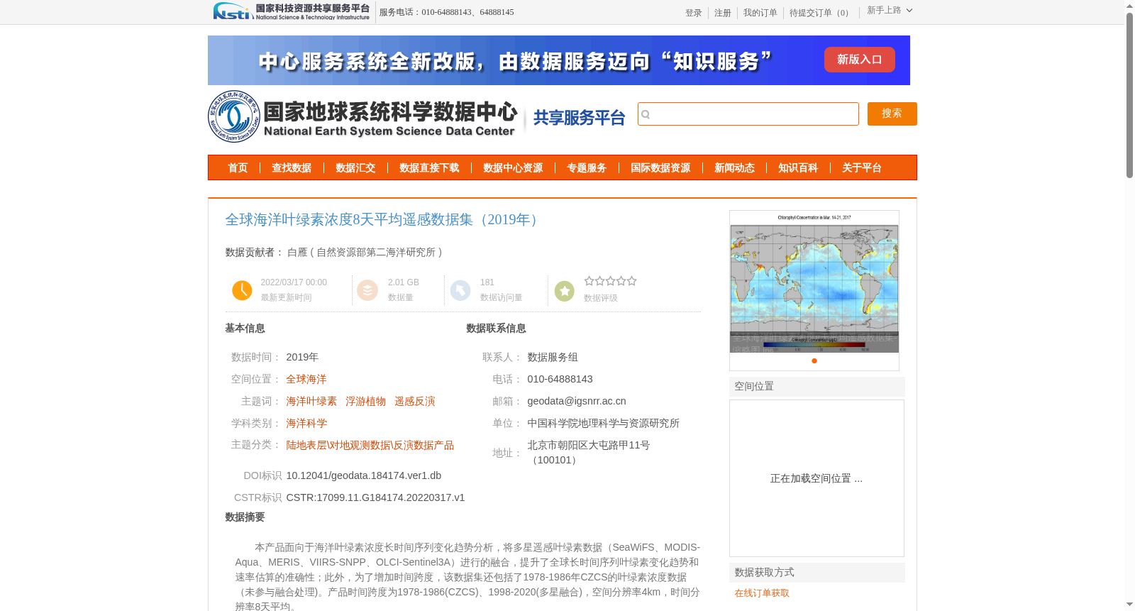
本产品面向于海洋叶绿素浓度长时间序列变化趋势分析,将多星遥感叶绿素数据(SeaWiFS、MODIS-Aqua、MERIS、VIIRS-SNPP、OLCI-Sentinel3A)进行的融合,提升了全球长时间序列叶绿素变化趋势和速率估算的准确性;此外,为了增加时间跨度,该数据集还包括了1978-1986年CZCS的叶绿素浓度数据(未参与融合处理)。产品时间跨度为1978-1986(CZCS)、1998-2020(多星融合),空间分辨率4km,时间分辨率8天平均。
This product is designed for long-term trend analysis of marine chlorophyll concentration time series. It fuses multi-satellite remote sensing chlorophyll data including SeaWiFS, MODIS-Aqua, MERIS, VIIRS-SNPP, and OLCI-Sentinel3A, which improves the accuracy of estimating global long-term chlorophyll concentration trends and their change rates. Furthermore, to extend the temporal coverage, the dataset also includes chlorophyll concentration data from CZCS during 1978–1986, which was not involved in the fusion process. The temporal coverage of this product is 1978–1986 (CZCS) and 1998–2020 (multi-satellite fused), with a spatial resolution of 4 km and a temporal resolution of 8-day average composites.