青藏高原东北缘1:25万地貌类型数据(2023)
收藏资源简介:
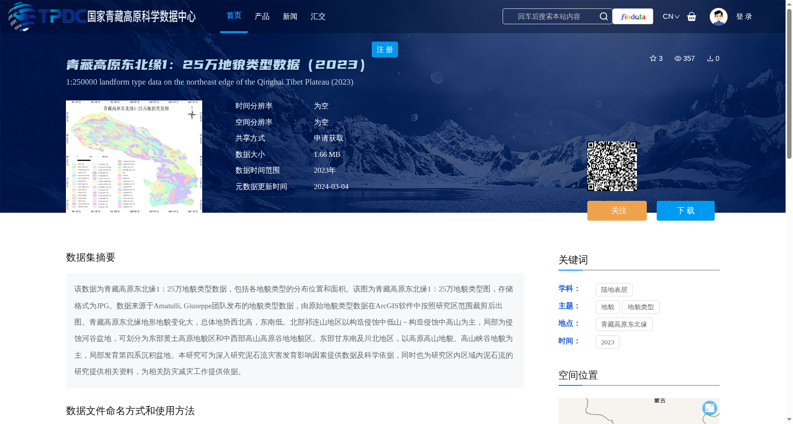
该数据为青藏高原东北缘1:25万地貌类型数据,包括各地貌类型的分布位置和面积。该图为青藏高原东北缘1:25万地貌类型图,存储格式为JPG。数据来源于Amatulli, Giuseppe团队发布的地貌类型数据,由原始地貌类型数据在ArcGIS软件中按照研究区范围裁剪后出图。青藏高原东北缘地形地貌变化大,总体地势西北高,东南低。北部祁连山地区以构造侵蚀中低山-构造侵蚀中高山为主,局部为侵蚀河谷盆地,可划分为东部黄土高原地貌区和中西部高山高原谷地地貌区。东部甘东南及川北地区,以高原高山地貌、高山峡谷地貌为主,局部发育第四系沉积盆地。本研究可为深入研究泥石流灾害发育影响因素提供数据及科学依据,同时也为研究区内区域内泥石流的研究提供相关资料,为相关防灾减灾工作提供依据。
This dataset is a 1:250,000 geomorphic type dataset for the northeastern margin of the Qinghai-Tibet Plateau, including the distribution locations and areas of each geomorphic type. This map of geomorphic types of the northeastern margin of the Qinghai-Tibet Plateau is stored in JPG format. The dataset is derived from the geomorphic type data released by the team led by Giuseppe Amatulli, and was produced by clipping the original geomorphic type data according to the study area boundary using ArcGIS software. The topography and geomorphology of the northeastern margin of the Qinghai-Tibet Plateau vary greatly, with an overall terrain that is high in the northwest and low in the southeast. The northern Qilian Mountain area is dominated by tectonically eroded medium-low mountains and tectonically eroded medium-high mountains, with locally developed eroded river valleys and basins, and can be divided into the eastern Loess Plateau geomorphic region and the central-western alpine plateau valley geomorphic region. The southeastern Gansu and northern Sichuan regions in the east are dominated by plateau alpine landforms and alpine canyon landforms, with Quaternary sedimentary basins developed locally. This study can provide data and scientific basis for in-depth research on the influencing factors of debris flow disasters, as well as relevant information for the study of debris flows within the study area, and support for relevant disaster prevention and mitigation work.