
Fucheng-1 SAR 3D imaging dataset 1.0
收藏DataCite Commons2025-04-27 更新2025-04-16 收录
下载链接:
https://www.scidb.cn/detail?dataSetId=ce31a15f9d2a4bed9a7c7175b3b4e13c
下载链接
链接失效反馈官方服务:
资源简介:
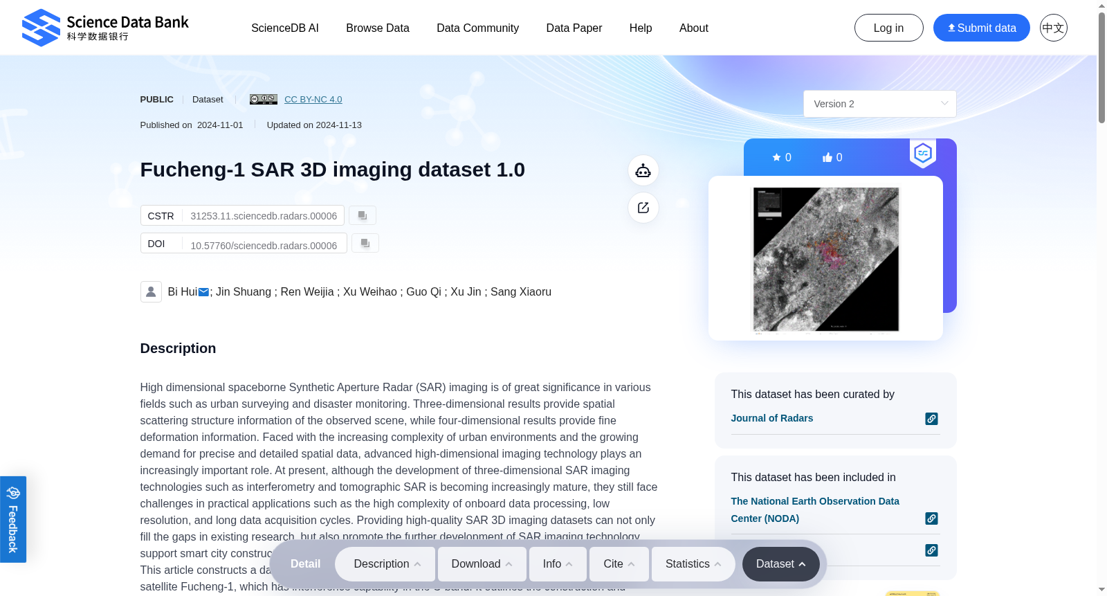
High dimensional spaceborne Synthetic Aperture Radar (SAR) imaging is of great significance in various fields such as urban surveying and disaster monitoring. Three-dimensional results provide spatial scattering structure information of the observed scene, while four-dimensional results provide fine deformation information. Faced with the increasing complexity of urban environments and the growing demand for precise and detailed spatial data, advanced high-dimensional imaging technology plays an increasingly important role. At present, although the development of three-dimensional SAR imaging technologies such as interferometry and tomographic SAR is becoming increasingly mature, they still face challenges in practical applications such as the high complexity of onboard data processing, low resolution, and long data acquisition cycles. Providing high-quality SAR 3D imaging datasets can not only fill the gaps in existing research, but also promote the further development of SAR imaging technology, support smart city construction, and expand its applications in various fields such as artificial intelligence. This article constructs a dataset for Beijing Capital International Airport based on the commercial SAR satellite Fucheng-1, which has interference capability in the C-band. It outlines the construction and planning of the dataset for Beijing Capital International Airport, provides the files and other specific information, and explains the specific methods for creating the dataset, providing data support for subsequent scientific research.
高维星载合成孔径雷达(Synthetic Aperture Radar, SAR)成像技术在城市测绘、灾害监测等诸多领域均具有重要意义。三维成像结果可提供观测场景的空间散射结构信息,四维成像结果则可提供精细化的形变信息。面对日益复杂的城市环境与对高精度精细化空间数据的日益增长的需求,先进的高维成像技术正发挥着愈发重要的作用。当前,尽管干涉SAR、层析SAR等三维SAR成像技术的发展日趋成熟,但在实际应用中仍面临诸多挑战,例如星载数据处理复杂度高、分辨率不足、数据采集周期较长等。构建高质量的SAR三维成像数据集,不仅可填补现有研究的空白,还能推动SAR成像技术的进一步发展,为智慧城市建设提供支撑,并拓展其在人工智能等诸多领域的应用场景。本文基于具备C波段干涉能力的商业SAR卫星福成一号,构建了北京首都国际机场的SAR成像数据集,详述了该数据集的构建方案与规划细节,提供了数据集文件等具体信息,并阐明了数据集的具体制作方法,可为后续相关科研工作提供数据支撑。
提供机构:
Science Data Bank
创建时间:
2024-11-01
搜集汇总
数据集介绍
背景与挑战
背景概述
该数据集是基于Fucheng-1 SAR卫星C波段干涉能力构建的北京首都国际机场三维成像数据集,旨在支持智能城市建设和SAR成像技术的应用与发展。数据集包含2.78GB的6个文件,由国家自然科学基金资助,适用于测绘、计算机科学和航空航天技术等领域的研究。
以上内容由遇见数据集搜集并总结生成



