石漠化治理调查与评价服务
收藏郑州数据交易中心2023-08-03 更新2024-10-10 收录
下载链接:
https://market.zzbdex.com/trade/service/1686927502224130050
下载链接
链接失效反馈官方服务:
资源简介:
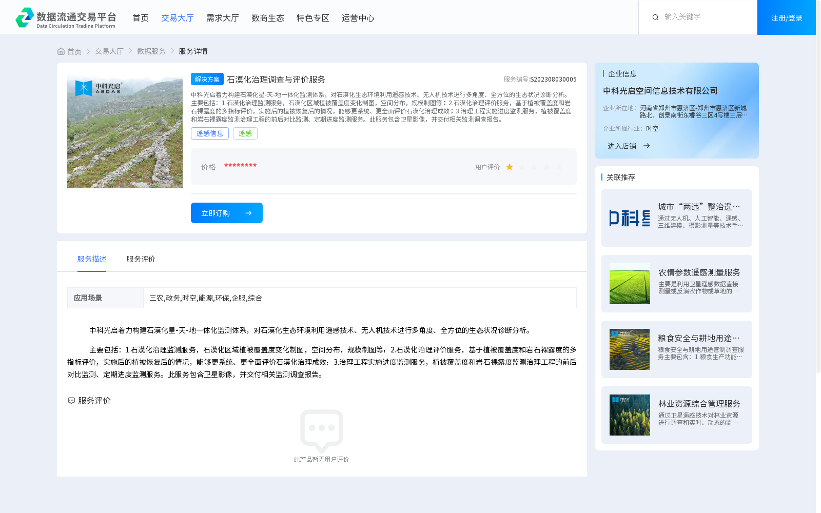
中科光启着力构建石漠化星-天-地一体化监测体系,对石漠化生态环境利用遥感技术、无人机技术进行多角度、全方位的生态状况诊断分析。主要包括:1.石漠化治理监测服务,石漠化区域植被覆盖度变化制图,空间分布,规模制图等;2.石漠化治理评价服务,基于植被覆盖度和岩石裸露度的多指标评价,实施后的植被恢复后的情况,能够更系统、更全面评价石漠化治理成效;3.治理工程实施进度监测服务,植被覆盖度和岩石裸露度监测治理工程的前后对比监测、定期进度监测服务。此服务包含卫星影像,并交付相关监测调查报告。
Zhongke Guangqi is committed to building an integrated space-air-ground monitoring system for rocky desertification, and conducts multi-angle, all-round diagnostic analysis of the ecological status of rocky desertification ecosystems using remote sensing and unmanned aerial vehicle (UAV) technologies. The main services are as follows:
1. Rocky desertification control monitoring services: including mapping of vegetation coverage changes, spatial distribution and scale in rocky desertification areas, etc.
2. Rocky desertification control evaluation services: conducting multi-index evaluation based on vegetation coverage and rock exposure, assessing post-implementation vegetation recovery, which enables a more systematic and comprehensive evaluation of the effectiveness of rocky desertification control.
3. Governance project implementation progress monitoring services: providing pre-post comparison monitoring and regular progress monitoring of governance projects based on vegetation coverage and rock exposure. This service includes satellite imagery and delivers relevant monitoring and investigation reports.
提供机构:
中科光启空间信息技术有限公司
创建时间:
2023-08-03
搜集汇总
数据集介绍
背景与挑战
背景概述
该数据集提供石漠化治理的星-天-地一体化监测服务,包括植被覆盖度变化制图、治理成效评价及工程进度监测,适用于三农、政务、环保等多个场景。
以上内容由遇见数据集搜集并总结生成


