blanchon/RESISC45
收藏遥感图像场景分类数据集 (RESISC45)
描述
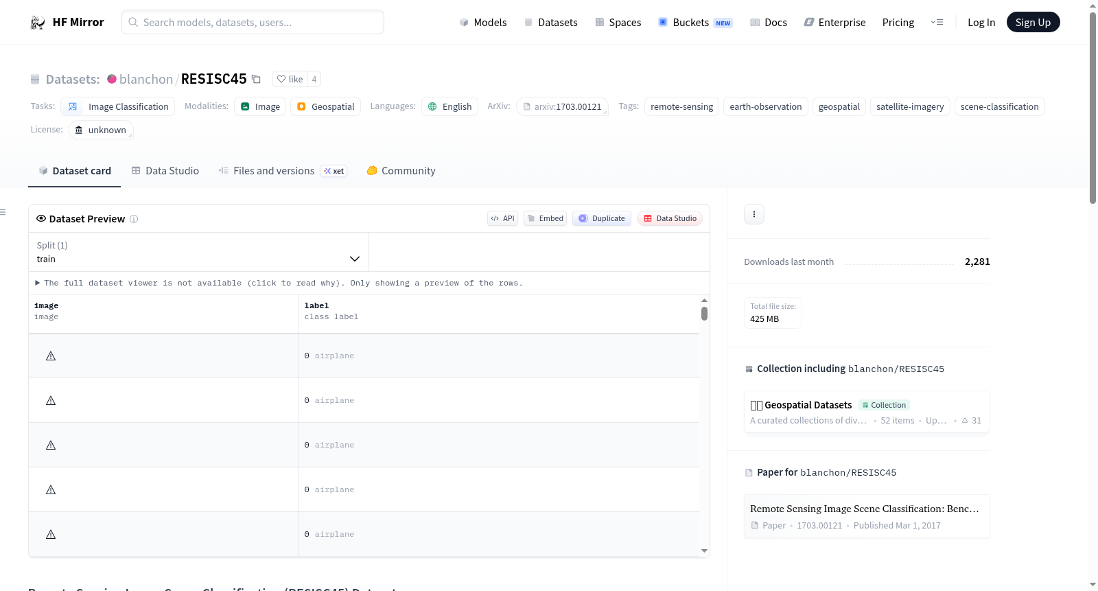
RESISC45 数据集是一个专注于 RGB 图像的场景分类数据集,这些图像通过 Google Earth 提取。该数据集包含总共 31,500 张图像,每张图像的分辨率为 256x256 像素。RESISC45 包含 45 个不同的场景类别,每个类别有 700 张图像。这些图像收集自 100 多个国家,并特别选择以优化图像条件的高变异性,包括空间分辨率、遮挡、天气、光照等。RESISC45 的一个显著特点是其空间分辨率范围从 20cm 到超过 30m/px。
结构
tree . ├── README.md └── data ├── airplane │ ├── airplane_1.jpg │ ├── ... │ └── airplane_700.jpg ├── airport ├── baseball_diamond ├── beach ├── ... └── wetland
统计信息
- 总图像数: 31,500
- 图像分辨率: 256x256 像素
- 场景类别: 45
- 数据集大小: 约 0.47GB
引用
如果您在研究中使用 RESISC45 数据集,请考虑引用以下出版物或数据集的官方网站:
bibtex @article{cheng2017remote, title = {Remote sensing image scene classification: Benchmark and state of the art}, author = {Cheng, Gong and Han, Junwei and Lu, Xiaoqiang}, journal = {Proceedings of the IEEE}, volume = {105}, number = {10}, pages = {1865-1883}, year = {2017}, publisher = {IEEE} }