长江流域汛期水情数据集(2020-2022年)
收藏国家地球系统科学数据中心2023-11-16 更新2024-03-04 收录
下载链接:
https://www.geodata.cn/data/datadetails.html?dataguid=93955151179198&docId=4393
下载链接
链接失效反馈官方服务:
资源简介:
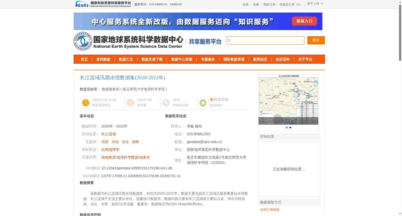
该数据为长江流域汛期水情数据集,时间为2020-2022年。数据主要包括长江流域汛期各重要站水情数据、长江流域干支流主要站水位、流量统计数据等。数据内容主要有长江流域各主要站点名、所在河段名称、水位、水势、相应/出库流量、蓄量等。数据格式为ESRI Shapefile和xlsx。
This dataset is the flood regime dataset of the Yangtze River Basin, spanning the period from 2020 to 2022. It mainly includes flood regime data of key hydrological stations in the Yangtze River Basin during flood seasons, as well as statistical data on water levels and discharges of main stations on the main stream and tributaries of the Yangtze River Basin. Specific data contents cover names of major stations in the basin, names of their respective river sections, water levels, flow regimes, corresponding discharge and outflow discharge, storage capacity, and other related items. The data is available in ESRI Shapefile and XLSX formats.
提供机构:
南京师范大学地理科学学院
创建时间:
2020-07-31
搜集汇总
数据集介绍
背景与挑战
背景概述
长江流域汛期水情数据集(2020-2022年)包含长江流域各重要站点的水位、水势、流量等水情数据,数据格式为ESRI Shapefile和xlsx,来源于长江水文网并经过人工摘录、加工整理和严格的质量校验,适用于自然地理学等领域的研究。
以上内容由遇见数据集搜集并总结生成


