新疆昌吉回族自治州奇台县2010年二类调查森林资源分布图
收藏国家林业和草原科学数据中心2017-12-17 更新2024-03-06 收录
下载链接:
https://www.forestdata.cn/dataDetail.html?id=CSTR:17575.11.0120211217033.010001.V1
下载链接
链接失效反馈官方服务:
资源简介:
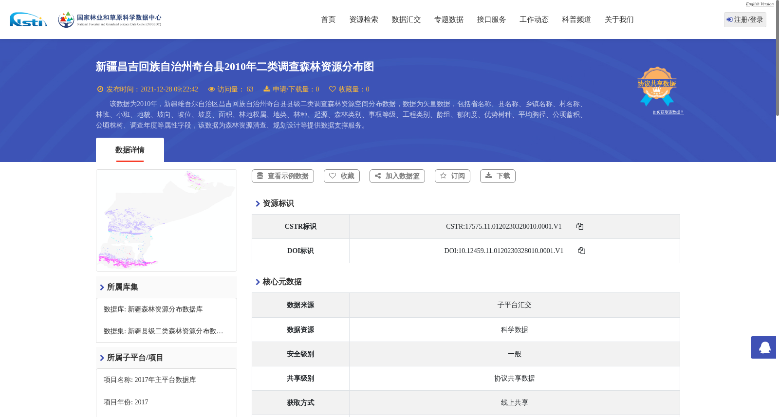
该数据为2010年,新疆维吾尔自治区昌吉回族自治州奇台县县级二类调查森林资源空间分布数据,数据为矢量数据,包括省名称、县名称、乡镇名称、村名称、林班、小班、地貌、坡向、坡位、坡度、面积、林地权属、地类、林种、起源、森林类别、事权等级、工程类别、龄组、郁闭度、优势树种、平均胸径、公顷蓄积、公顷株树、调查年度等属性字段,该数据为森林资源清查、规划设计等提供数据支撑服务。
This dataset is the spatial distribution data of forest resources from the county-level second-class forest inventory conducted in Qitai County, Changji Hui Autonomous Prefecture, Xinjiang Uygur Autonomous Region in 2010. The data is provided in vector format, containing attribute fields including province name, county name, township name, village name, compartment, sub-compartment, landform, aspect, slope position, slope gradient, area, forestland tenure, land type, silvicultural category, origin, forest class, affairs authority level, engineering category, age group, crown density, dominant tree species, average diameter at breast height (DBH), stock volume per hectare, number of trees per hectare, and survey year. This dataset provides data support and services for forest resource inventory, planning and design, and other relevant works.
提供机构:
国家林业和草原科学数据中心
创建时间:
2017-12-17
搜集汇总
数据集介绍
背景与挑战
背景概述
该数据集为2010年新疆奇台县森林资源空间分布矢量数据,包含25个属性字段,覆盖8459个小班,主要用于森林资源清查和规划设计。数据质量良好,通过矢量化加工处理,共享级别为协议共享。
以上内容由遇见数据集搜集并总结生成


