三江平原湿地保护工程区30m碳储量生态系统服务能力遥感监测与模拟空间数据集(2015年)
收藏国家地球系统科学数据中心2022-02-24 更新2024-03-04 收录
下载链接:
https://www.geodata.cn/data/datadetails.html?dataguid=186332782926298&docId=10322
下载链接
链接失效反馈官方服务:
资源简介:
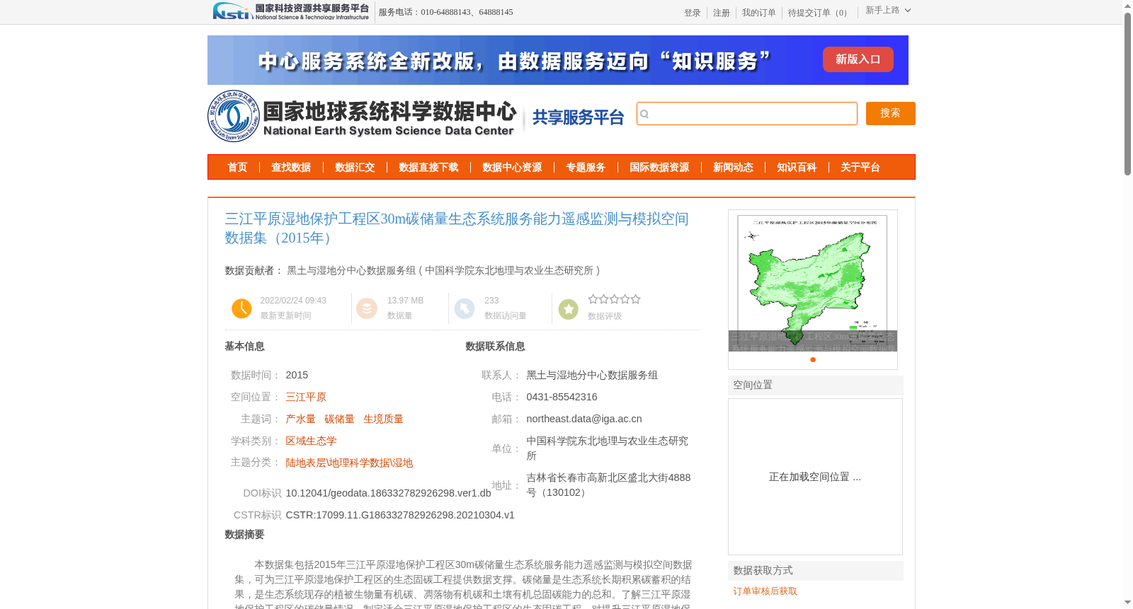
本数据集包括2015年三江平原湿地保护工程区30m碳储量生态系统服务能力遥感监测与模拟空间数据集,可为三江平原湿地保护工程区的生态固碳工程提供数据支撑。碳储量是生态系统长期积累碳蓄积的结果,是生态系统现存的植被生物量有机碳、凋落物有机碳和土壤有机总固碳能力的总和。了解三江平原湿地保护工程区的碳储量情况,制定适合三江平原湿地保护工程区的生态固碳工程,对提升三江平原湿地保护工程区碳管理以及在全球温室气体减排中的地位具有重大意义。
This dataset is a 30m-resolution spatial dataset of remote sensing monitoring and simulation for ecosystem service capacity related to carbon storage in the Sanjiang Plain Wetland Conservation Project Area, developed in 2015. It provides data support for ecological carbon sequestration projects in the Sanjiang Plain Wetland Conservation Project Area. Carbon storage is the result of long-term carbon sequestration in ecosystems, and it is the sum of organic carbon in extant vegetation biomass, organic carbon in litterfall, and the total soil organic carbon sequestration capacity of the ecosystem. Understanding the carbon storage status of the Sanjiang Plain Wetland Conservation Project Area and formulating tailored ecological carbon sequestration projects for this area are of great significance for improving carbon management in the region and enhancing its role in global greenhouse gas emission reduction.
提供机构:
中国科学院东北地理与农业生态研究所
创建时间:
2021-03-04
搜集汇总
数据集介绍
背景与挑战
背景概述
本数据集是2015年三江平原湿地保护工程区的30米分辨率碳储量生态系统服务能力遥感监测与模拟空间数据,主题聚焦于产水量、碳储量和生境质量,属于区域生态学领域。数据基于Landsat遥感资料,采用Krasovsky_1940_Albers投影,通过计算地上、地下、死亡有机碳和土壤碳密度来估算总碳储量,旨在为生态固碳工程提供科学支撑,数据质量经过严格质量控制,来源可靠。
以上内容由遇见数据集搜集并总结生成


