长白山30m水体增加空间数据集(2000-2015年)
收藏国家地球系统科学数据中心2020-07-23 更新2024-03-04 收录
下载链接:
https://www.geodata.cn/data/datadetails.html?dataguid=195109538814174&docId=12444
下载链接
链接失效反馈官方服务:
资源简介:
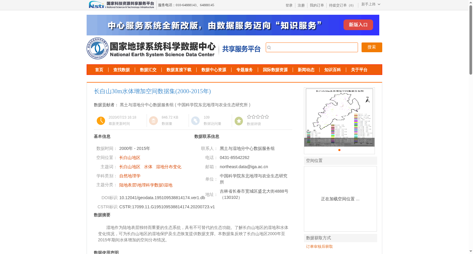
湿地作为陆地表层独特而重要的生态系统,具有不可替代的生态功能。了解长白山地区的湿地和水体变化情况,可为长白山地区的湿地保护及生态恢复提供数据支撑。本数据集反映了长白山地区2000年至2015年期间水体增加的空间分布情况。
Wetlands are unique and vital terrestrial surface ecosystems with irreplaceable ecological functions. Understanding the changes of wetlands and water bodies in the Changbai Mountain region can provide data support for wetland conservation and ecological restoration in this area. This dataset reflects the spatial distribution of increased water bodies in the Changbai Mountain region from 2000 to 2015.
提供机构:
中国科学院东北地理与农业生态研究所
创建时间:
2020-07-23
搜集汇总
数据集介绍
背景与挑战
背景概述
该数据集为长白山地区2000年至2015年期间水体增加的空间分布数据,旨在为湿地保护和生态恢复提供科学支撑。它基于Landsat遥感影像,采用面向对象的分类方法提取,空间分辨率为30米,投影为Krasovsky_1940_Albers,并通过严格的质量控制确保一级类精度在90%以上。
以上内容由遇见数据集搜集并总结生成


