森林资源遥感调查制图服务
收藏郑州数据交易中心2023-03-31 更新2024-10-10 收录
下载链接:
https://market.zzbdex.com/trade/service/1641723495458689025
下载链接
链接失效反馈官方服务:
资源简介:
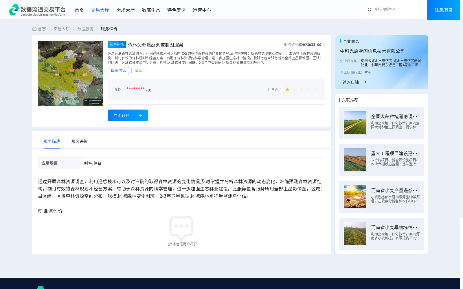
通过开展森林资源调查,利用遥感技术可以及时准确的取得森林资源的变化情况,及时掌握并分析森林资源的动态变化,准确预测森林资源结构,制订有效的森林规划和经营方案,有助于森林资源的科学管理,进一步加强生态林业建设。此服务包含服务所用全部卫星影像图,区域:县区级,区域森林资源空间分布,规模,区域森林变化图斑,2-3年卫星数据,区域森林蓄积量监测与评估。
By conducting forest resource inventories, remote sensing technology enables timely and accurate acquisition of information on forest resource changes, facilitates timely grasping and analysis of the dynamic changes of forest resources, supports accurate prediction of forest resource structures, and helps formulate effective forest planning and management plans, thereby contributing to the scientific management of forest resources and further advancing the development of ecological forestry. This service includes all satellite imagery utilized for its provision, with coverage at the county and district level, covering the spatial distribution and scale of regional forest resources, regional forest change patches, 2-3 years of satellite data, as well as monitoring and assessment of regional forest growing stock volume.
提供机构:
中科光启空间信息技术有限公司
创建时间:
2023-03-31
搜集汇总
数据集介绍
背景与挑战
背景概述
该数据集提供森林资源遥感调查制图服务,包含县区级区域的卫星影像图、森林资源空间分布、变化图斑及蓄积量监测评估,旨在支持森林资源科学管理和生态林业建设。
以上内容由遇见数据集搜集并总结生成


