基于SMAP降尺度的中国区域500m表层土壤湿度数据集(2001-2014)
收藏国家青藏高原科学数据中心2025-04-10 更新2025-05-24 收录
下载链接:
https://data.tpdc.ac.cn/zh-hans/data/b897dcf4-8882-4c24-b8b0-573760f67847
下载链接
链接失效反馈官方服务:
资源简介:
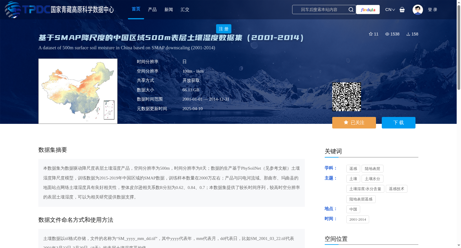
本数据集为数据驱动降尺度表层土壤湿度产品,空间分辨率为500m,时间分辨率为8天;数据的生产基于PhySoilNet(见参考文献)土壤湿度降尺度模型,训练数据为2015-2019年中国区域的SMAP数据,训练样本数量在2000万左右;产品与闪电河流域、那曲市、玛曲县的地面站点网络土壤湿度具有良好相关性,整体皮尔逊相关系数R分别为0.62、0.84、0.7;本数据集提供了较长时间序列,较高时空分辨率的表层土壤湿度,可以为相关研究提供数据支撑。
This dataset is a data-driven downscaled surface soil moisture product with a spatial resolution of 500 m and a temporal resolution of 8 days. The data production is based on the PhySoilNet (see References) soil moisture downscaling model, which uses SMAP data of China from 2015 to 2019 as training data with approximately 20 million training samples. This product shows good correlations with in-situ soil moisture measurements from ground station networks in the Shandan River Basin, Nagqu City and Maqu County, with overall Pearson correlation coefficients R of 0.62, 0.84 and 0.7 respectively. This dataset provides surface soil moisture data with a long time series and high spatiotemporal resolution, which can provide data support for relevant research.
提供机构:
孙灏,徐振恒,高金华,王蕴佳
创建时间:
2025-04-02
搜集汇总
数据集介绍
背景与挑战
背景概述
该数据集是基于SMAP降尺度的中国区域500m表层土壤湿度数据,覆盖2001年至2014年,空间分辨率为500m,时间分辨率为8天。数据通过PhySoilNet模型降尺度生成,与地面站点数据具有良好相关性(R值在0.62至0.84之间),适用于相关研究。
以上内容由遇见数据集搜集并总结生成


