雅鲁藏布江流域中游侵蚀输沙空间分布及站点模拟结果(1983-2017)
收藏国家青藏高原科学数据中心2025-04-24 更新2024-12-07 收录
下载链接:
https://data.tpdc.ac.cn/zh-hans/data/98d47460-ab87-4c9b-9aa0-9b54819d6f78
下载链接
链接失效反馈官方服务:
资源简介:
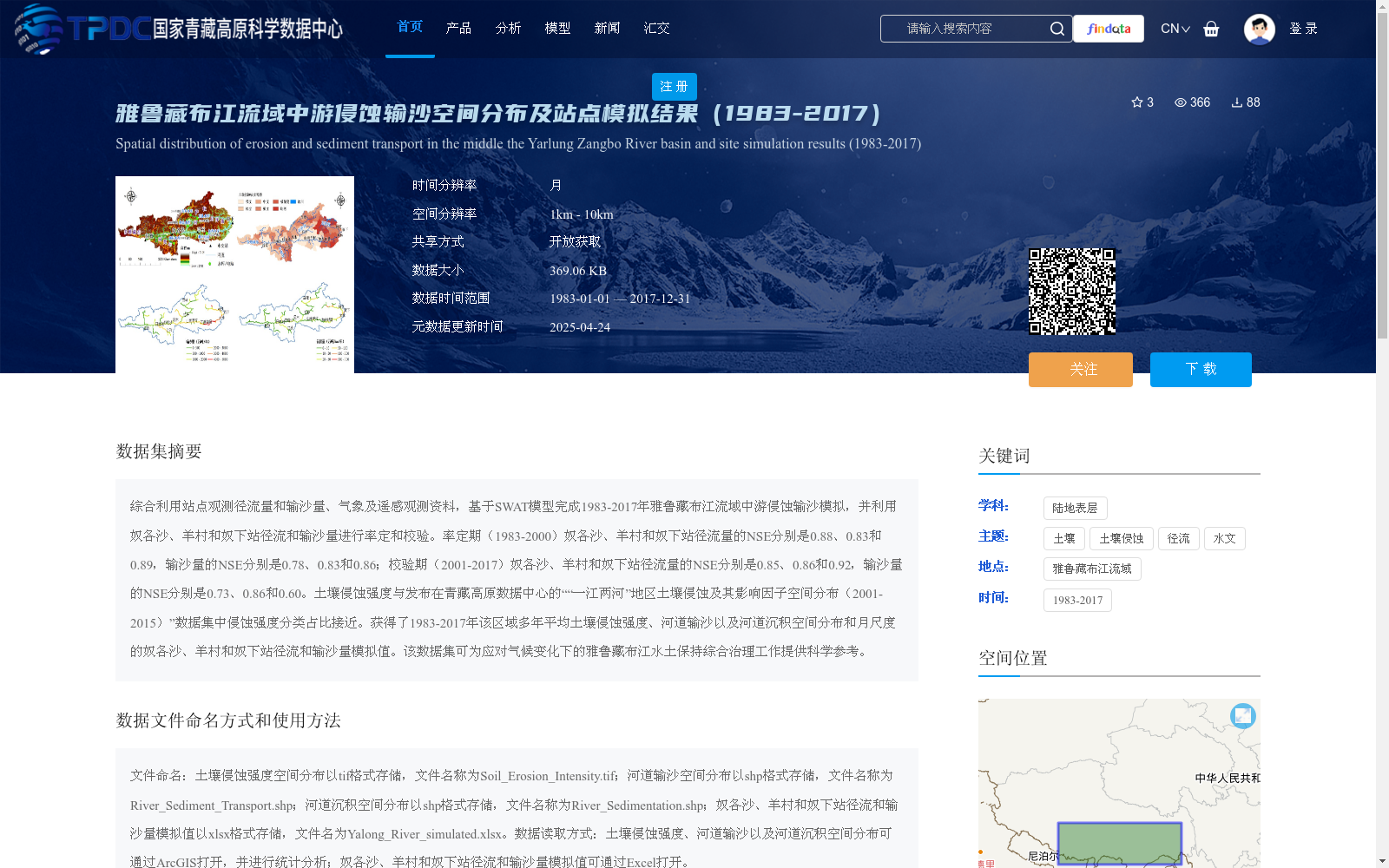
综合利用站点观测径流量和输沙量、气象及遥感观测资料,基于SWAT模型完成1983-2017年雅鲁藏布江流域中游侵蚀输沙模拟,并利用奴各沙、羊村和奴下站径流和输沙量进行率定和校验。率定期(1983-2000)奴各沙、羊村和奴下站径流量的NSE分别是0.88、0.83和0.89,输沙量的NSE分别是0.78、0.83和0.86;校验期(2001-2017)奴各沙、羊村和奴下站径流量的NSE分别是0.85、0.86和0.92,输沙量的NSE分别是0.73、0.86和0.60。土壤侵蚀强度与发布在青藏高原数据中心的““一江两河”地区土壤侵蚀及其影响因子空间分布(2001-2015)”数据集中侵蚀强度分类占比接近。获得了1983-2017年该区域多年平均土壤侵蚀强度、河道输沙以及河道沉积空间分布和月尺度的奴各沙、羊村和奴下站径流和输沙量模拟值。该数据集可为应对气候变化下的雅鲁藏布江水土保持综合治理工作提供科学参考。
By comprehensively utilizing in-situ observed runoff and sediment load, meteorological and remote sensing observational data, we conducted erosion and sediment transport simulations in the middle reaches of the Yarlung Zangbo River Basin from 1983 to 2017 using the SWAT model, and calibrated and validated the model with runoff and sediment load data from the Nugesha, Yangcun and Nuxia hydrological stations. During the calibration period (1983–2000), the Nash-Sutcliffe Efficiency (NSE) values of runoff at the three stations were 0.88, 0.83 and 0.89, respectively, while the NSE values of sediment load were 0.78, 0.83 and 0.86, respectively. During the validation period (2001–2017), the NSE values of runoff at the three stations were 0.85, 0.86 and 0.92, respectively, while the NSE values of sediment load were 0.73, 0.86 and 0.60, respectively. The proportion of erosion intensity categories in this dataset is close to that in the dataset "Spatial Distribution of Soil Erosion and Its Impact Factors in the One River and Two Tributaries Region (2001–2015)" published on the Qinghai-Tibet Plateau Data Center. This dataset provides the spatial distributions of multi-year average soil erosion intensity, river sediment transport and river sediment deposition in the region from 1983 to 2017, as well as the monthly simulated runoff and sediment load data at the three aforementioned hydrological stations. This dataset can provide scientific references for the comprehensive management of soil and water conservation in the Yarlung Zangbo River Basin under climate change.
提供机构:
陈瑶,张凡
创建时间:
2024-10-15
搜集汇总
数据集介绍
背景与挑战
背景概述
该数据集提供了1983年至2017年雅鲁藏布江流域中游的土壤侵蚀和输沙模拟结果,基于SWAT模型并结合站点观测、气象和遥感数据生成,时间分辨率为月,空间分辨率为1km至10km。数据集包含土壤侵蚀强度、河道输沙和沉积的空间分布数据,以及奴各沙、羊村和奴下站的径流和输沙量模拟值,模型率定和校验的NSE值较高,表明模拟可靠性强,旨在为区域水土保持工作提供科学依据。
以上内容由遇见数据集搜集并总结生成


