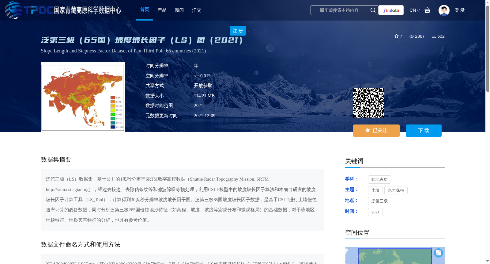
泛第三极(65国)坡度坡长因子(LS)图(2021)
收藏资源简介:
泛第三极(LS)数据集,基于公开的1弧秒分辨率SRTM数字高程数据(Shuttle Radar Topography Mission, SRTM;http://srtm.csi.cgiar.org),经过去接边、去除伪条纹等和滤波除噪等预处理,利用CSLE模型中的坡度坡长因子算法和本项目研发的坡度坡长因子计算工具(LS_Tool),计算得到30弧秒分辨率坡度坡长因子图。泛第三极65国坡度坡长因子数据,是基于CSLE进行土壤侵蚀速率计算的必备数据,同时分析泛第三极265国侵蚀地形特征(如高程、坡度、坡度等宏观分布和微观格局)的基础数据,对于该地区地貌特征、地质灾害特征的分析,也具有参考价值。
The Pan-Third Pole (LS) Dataset is constructed using publicly available 1-arcsecond resolution SRTM (Shuttle Radar Topography Mission) digital elevation data (available at http://srtm.csi.cgiar.org). Preprocessing operations including seam removal, spurious stripe elimination, and noise filtering were performed first. Subsequently, 30-arcsecond resolution slope length and steepness factor maps were generated by adopting the slope length and steepness factor algorithm from the CSLE model and the LS_Tool, a dedicated calculation tool developed for this project. The slope length and steepness factor data for the 65 countries within the Pan-Third Pole region is a mandatory dataset for calculating soil erosion rates using the CSLE model. Additionally, it serves as the foundational data for analyzing erosional topographic characteristics (e.g., macro-scale distributions and micro-scale patterns of elevation, slope, etc.) across 265 countries in the Pan-Third Pole region, and offers reference significance for studies on geomorphic features and geohazard characteristics in this region.