
Japan Digital Elevation Model [DEM]
收藏DataONE2015-04-11 更新2024-06-27 收录
下载链接:
https://search.dataone.org/view/sha256:d1d779386ee3ef33782d7f99a8f5d76d638068029783553d1fbf343b495f4285
下载链接
链接失效反馈官方服务:
资源简介:
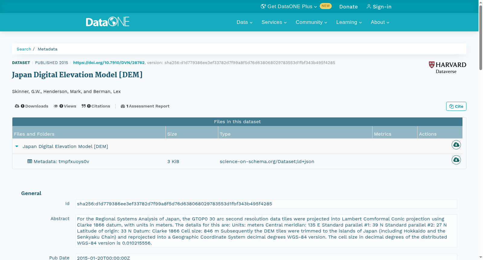
For the Regional Systems Analysis of Japan, the GTOP0 30 arc second resolution data tiles were projected into Lambert Comformal Conic projection using Clarke 1866 datum, with units in meters. The details for this are: Units: meters Central meridian: 135 E Standard parallel #1: 39 N Standard parallel #2: 27 N Latitude of origin: 33 N Datum: Clarke 1866 Cell size: 846 m Subsequently the DEM tiles were trimmed to the islands of Japan (including Hokkaido and the Senkyaku Chain) and reprojected into a Geographic Coordinate System decimal degrees WGS-84 version. The cell size in decimal degrees of the distributed WGS-84 version is 0.010215556.
创建时间:
2023-11-20
搜集汇总
数据集介绍
以上内容由遇见数据集搜集并总结生成



