长江三角洲1:100万土地资源数据(1980s)
收藏国家地球系统科学数据中心2017-06-07 更新2024-03-04 收录
下载链接:
https://www.geodata.cn/data/datadetails.html?dataguid=6151584&docId=28179
下载链接
链接失效反馈官方服务:
资源简介:
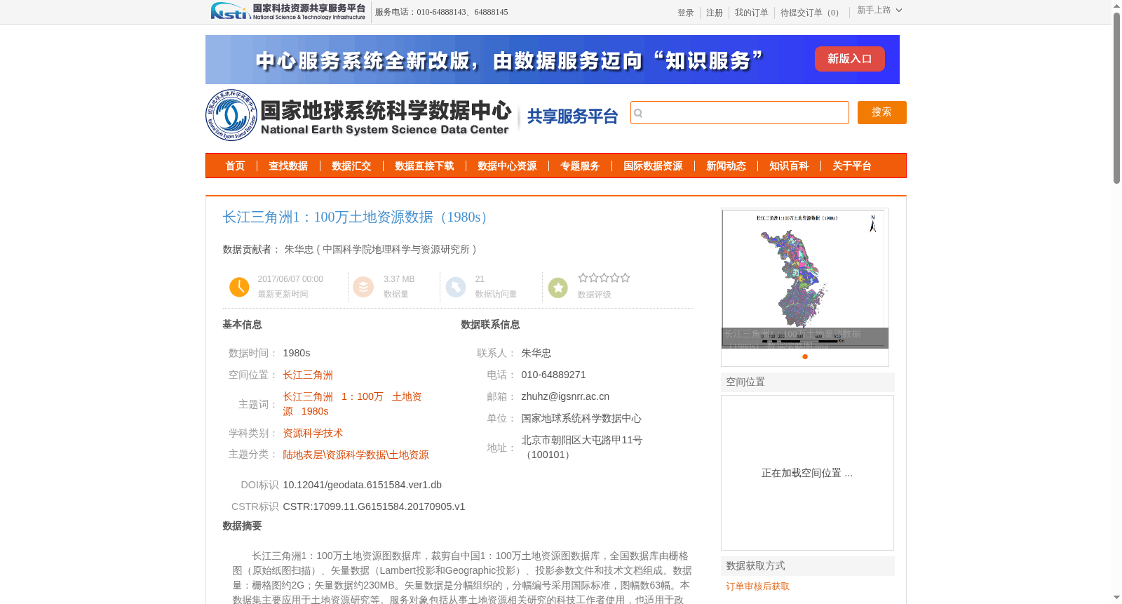
长江三角洲1:100万土地资源图数据库,裁剪自中国1:100万土地资源图数据库,全国数据库由栅格图(原始纸图扫描)、矢量数据(Lambert投影和Geographic投影)、投影参数文件和技术文档组成。数据量:栅格图约2G;矢量数据约230MB。矢量数据是分幅组织的,分幅编号采用国际标准,图幅数63幅。本数据集主要应用于土地资源研究等。服务对象包括从事土地资源相关研究的科技工作者使用,也适用于政府决策部门使用。数据收集时间为1950-2000年。数据的空间范围、投影方式Lanbert投影,数据的学科范围属于地理学范围,数据量合计约1616KB,不定期更新。
The Yangtze River Delta 1:1,000,000 Land Resource Map Database is cropped from the national China 1:1,000,000 Land Resource Map Database. The national database consists of raster maps (scanned from original paper maps), vector data (using Lambert Projection and Geographic Projection), projection parameter files, and technical documentation. Data volume: approximately 2 GB for raster maps, and approximately 230 MB for vector data. Vector data is organized by map sheets, with sheet numbers conforming to international standards, totaling 63 sheets. This dataset is primarily applied to land resource research and other relevant fields. Its target users include scientific and technical workers engaged in land resource-related studies, as well as government decision-making departments. The data collection period ranges from 1950 to 2000. The spatial scope and projection method adopt Lambert Projection. Its academic scope falls within the discipline of geography. The total data volume is approximately 1616 KB, and it is updated irregularly.
提供机构:
中国科学院地理科学与资源研究所
创建时间:
2017-09-05
搜集汇总
数据集介绍
背景与挑战
背景概述
该数据集是长江三角洲地区1:100万比例尺的土地资源数据,时间范围为1980年代,源自1981-1988年编制的中国1:100万土地资源图,通过人工跟踪数字化方法加工而成,采用Lambert投影。数据集包含栅格图和矢量数据,主要用于土地资源研究和政府决策支持,适用于地理学和资源科学领域的科技工作者。
以上内容由遇见数据集搜集并总结生成


