城轨三维仿真激光雷达点云平面拟合算法
收藏贵阳数据交易所2024-03-07 更新2024-03-08 收录
下载链接:
https://www.gzdex.com.cn/market/detail/2997
下载链接
链接失效反馈官方服务:
资源简介:
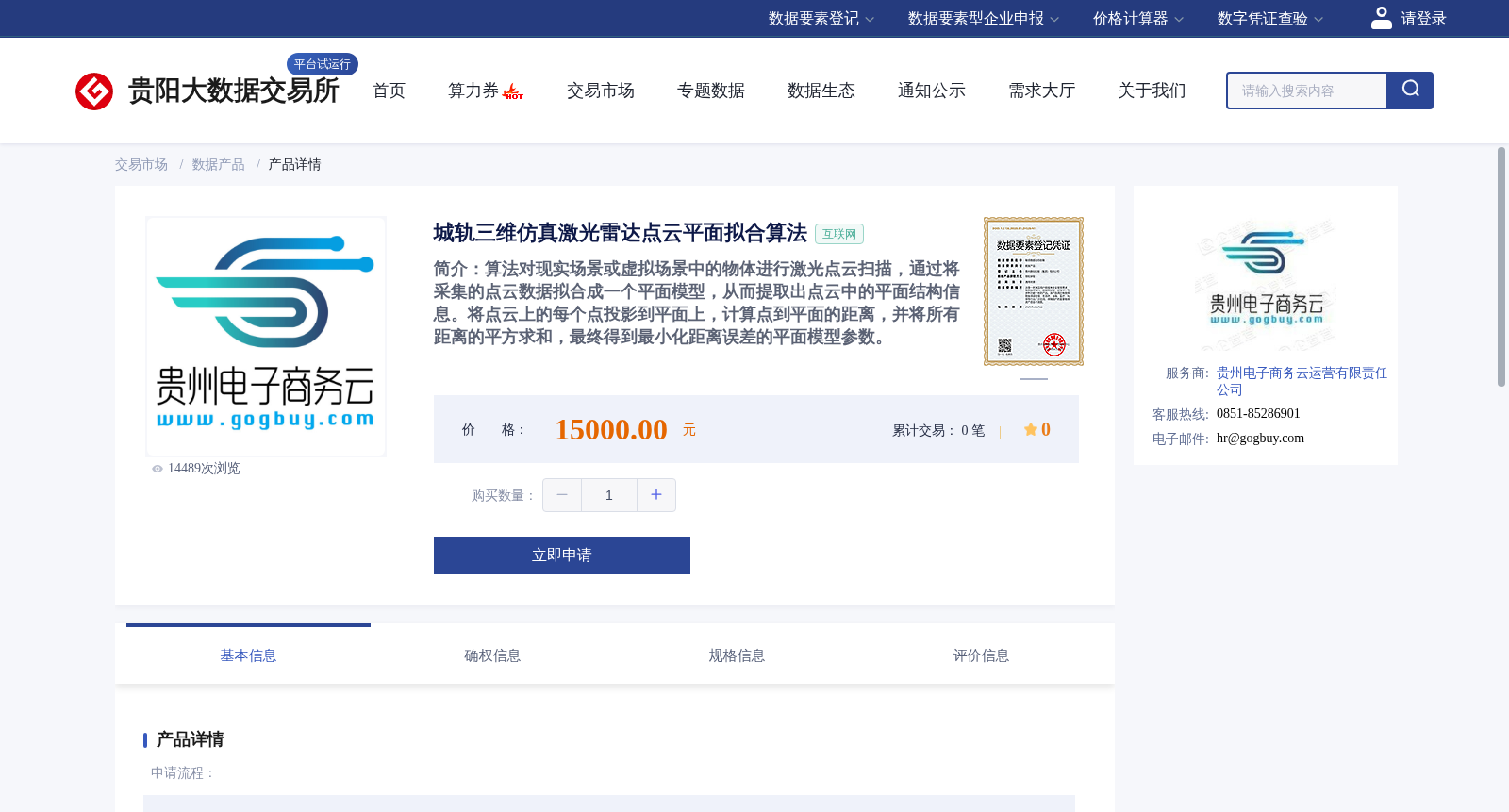
算法对现实场景或虚拟场景中的物体进行激光点云扫描,通过将采集的点云数据拟合成一个平面模型,从而提取出点云中的平面结构信息。将点云上的每个点投影到平面上,计算点到平面的距离,并将所有距离的平方求和,最终得到最小化距离误差的平面模型参数。
This algorithm conducts laser point cloud scanning on objects in real-world or virtual scenarios. It fits the collected point cloud data into a planar model to extract the planar structural information within the point cloud. Subsequently, each point on the point cloud is projected onto the fitted plane, the distance from each point to the plane is calculated, and the sum of the squares of all these distances is computed. Finally, the planar model parameters that minimize the distance error are obtained.
提供机构:
贵州电子商务云运营有限责任公司
创建时间:
2024-03-07
搜集汇总
数据集介绍
背景与挑战
背景概述
该数据集提供了一种城轨场景的激光雷达点云平面拟合算法,通过最小化点云到拟合平面的距离误差,提取三维点云中的平面结构特征。算法适用于现实或虚拟场景的激光扫描数据处理。
以上内容由遇见数据集搜集并总结生成


