2018-2024年中国10米空间分辨率冬小麦识别数据集
收藏国家生态科学数据中心2024-06-15 收录
下载链接:
http://www.nesdc.org.cn/sdo/detail?id=6661e1327e2817182c63b001
下载链接
链接失效反馈官方服务:
资源简介:
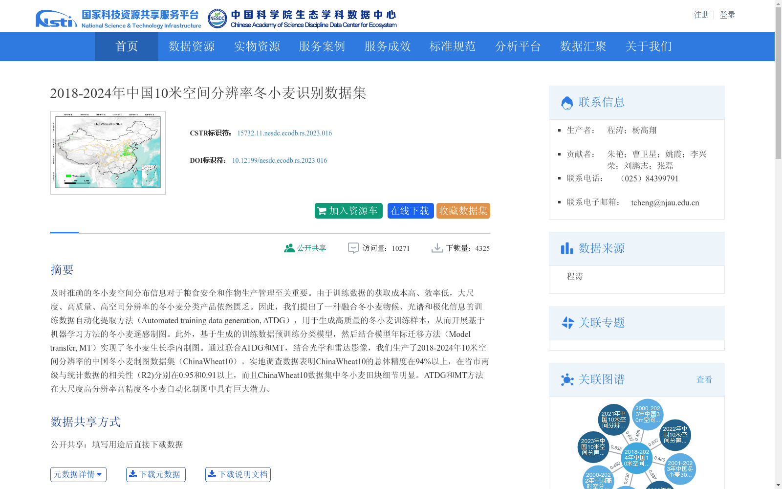
及时准确的冬小麦空间分布信息对于粮食安全和作物生产管理至关重要。由于训练数据的获取成本高、效率低,大尺度、高质量、高空间分辨率的冬小麦分类产品依然匮乏。因此,我们提出了一种融合冬小麦物候、光谱和极化信息的训练数据自动化提取方法(Automated training data generation, ATDG),用于生成高质量的冬小麦训练样本,从而开展基于机器学习方法的冬小麦遥感制图。此外,基于生成的训练数据预训练分类模型,然后结合模型年际迁移方法(Model transfer, MT)实现了冬小麦生长季内制图。通过联合ATDG和MT,结合光学和雷达影像,我们生产了2018-2024年10米空间分辨率的中国冬小麦制图数据集(ChinaWheat10)。实地调查数据表明ChinaWheat10的总体精度在94%以上,在省市两级与统计数据的相关性(R2)分别在0.95和0.91以上,而且ChinaWheat10数据集中冬小麦田块细节明显。ATDG和MT方法在大尺度高分辨率高精度冬小麦自动化制图中具有巨大潜力。
Timely and accurate spatial distribution information of winter wheat is critical for food security and crop production management. However, large-scale, high-quality, high-spatial-resolution winter wheat classification products remain scarce due to the high acquisition cost and low efficiency of training data. To address this gap, we propose an automated training data generation (ATDG) method that integrates winter wheat phenology, spectral and polarization information to generate high-quality winter wheat training samples for winter wheat remote sensing mapping based on machine learning approaches. Additionally, we pre-train a classification model with the generated training data, and then combine it with an inter-annual model transfer (MT) method to achieve in-season winter wheat mapping. By combining ATDG and MT and integrating optical and radar imagery, we produced the ChinaWheat10 dataset, a 10-meter spatial resolution winter wheat mapping dataset of China spanning the years 2018 to 2024. Field survey data demonstrate that ChinaWheat10 achieves an overall accuracy of over 94%, with coefficients of determination (R²) of more than 0.95 and 0.91 when compared with statistical data at the provincial and municipal levels, respectively. Moreover, the ChinaWheat10 dataset exhibits clear details of winter wheat field parcels. The ATDG and MT methods demonstrate great potential for large-scale, high-resolution, high-precision automated winter wheat mapping.
提供机构:
个体
创建时间:
2024-05-30
搜集汇总
数据集介绍
背景与挑战
背景概述
该数据集是2018-2024年中国范围内的冬小麦空间分布识别数据,具有10米高空间分辨率,通过融合物候、光谱和极化信息的自动化方法生成,总体精度超过94%,适用于大尺度作物遥感监测和农业管理研究。数据集以栅格图像形式存储,容量为8.00GB,覆盖农学和遥感技术学科,支持粮食安全与生产管理应用。
以上内容由遇见数据集搜集并总结生成


