中国0.5°分辨率逐月多源DGVM模拟整合蒸散数据集(1901-2010年)
收藏国家地球系统科学数据中心2020-07-10 更新2024-03-04 收录
下载链接:
https://www.geodata.cn/data/datadetails.html?dataguid=7442555&docId=12664
下载链接
链接失效反馈官方服务:
资源简介:
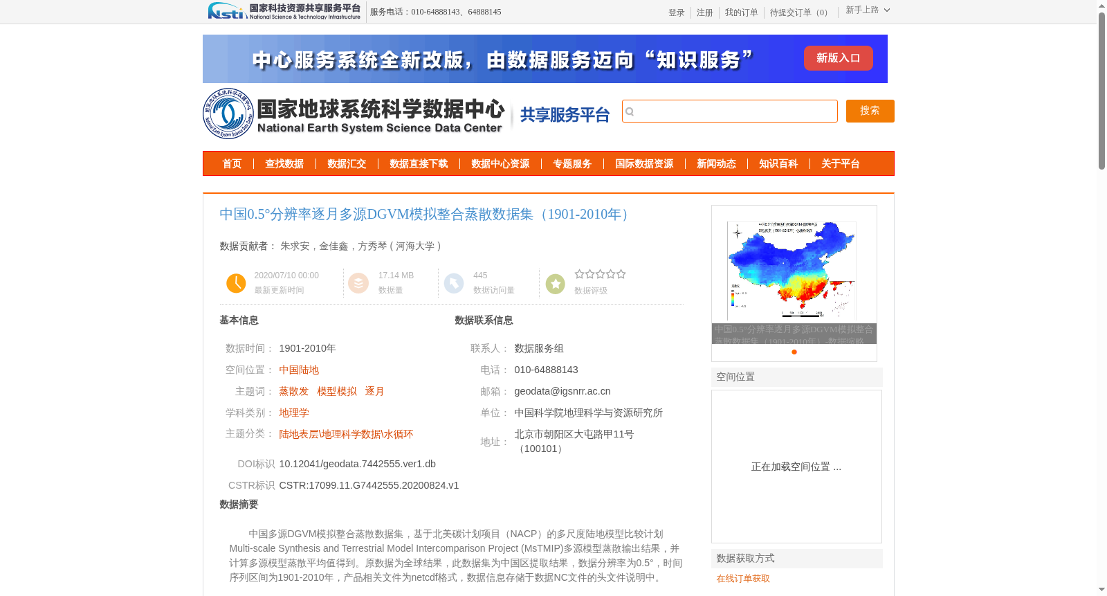
中国多源DGVM模拟整合蒸散数据集,基于北美碳计划项目(NACP)的多尺度陆地模型比较计划Multi-scale Synthesis and Terrestrial Model Intercomparison Project (MsTMIP)多源模型蒸散输出结果,并计算多源模型蒸散平均值得到。原数据为全球结果,此数据集为中国区提取结果,数据分辨率为0.5°,时间序列区间为1901-2010年,产品相关文件为netcdf格式,数据信息存储于数据NC文件的头文件说明中。
China Multi-source DGVM-simulated Integrated Evapotranspiration Dataset is constructed using the multi-source model evapotranspiration outputs from the Multi-scale Synthesis and Terrestrial Model Intercomparison Project (MsTMIP) under the North American Carbon Program (NACP), by computing the ensemble mean of these multi-source model evapotranspiration results. The original dataset spans the entire globe, whereas this dataset is a subset extracted for China's territorial region. It has a spatial resolution of 0.5° and covers the time period from 1901 to 2010. All data products are stored in NetCDF format, and the relevant data metadata is recorded in the header descriptions of the NetCDF files.
提供机构:
河海大学
创建时间:
2020-08-24
搜集汇总
数据集介绍
背景与挑战
背景概述
中国0.5°分辨率逐月多源DGVM模拟整合蒸散数据集(1901-2010年)是基于MsTMIP多源模型蒸散输出结果计算得到的中国区域均值数据集,适用于地理学和水循环研究。
以上内容由遇见数据集搜集并总结生成


