大型湖泊水生植被空间分布数据集(2000-2020年)
收藏国家地球系统科学数据中心2025-01-07 更新2025-01-04 收录
下载链接:
https://www.geodata.cn/data/datadetails.html?dataguid=184254559260357&docId=1885
下载链接
链接失效反馈官方服务:
资源简介:
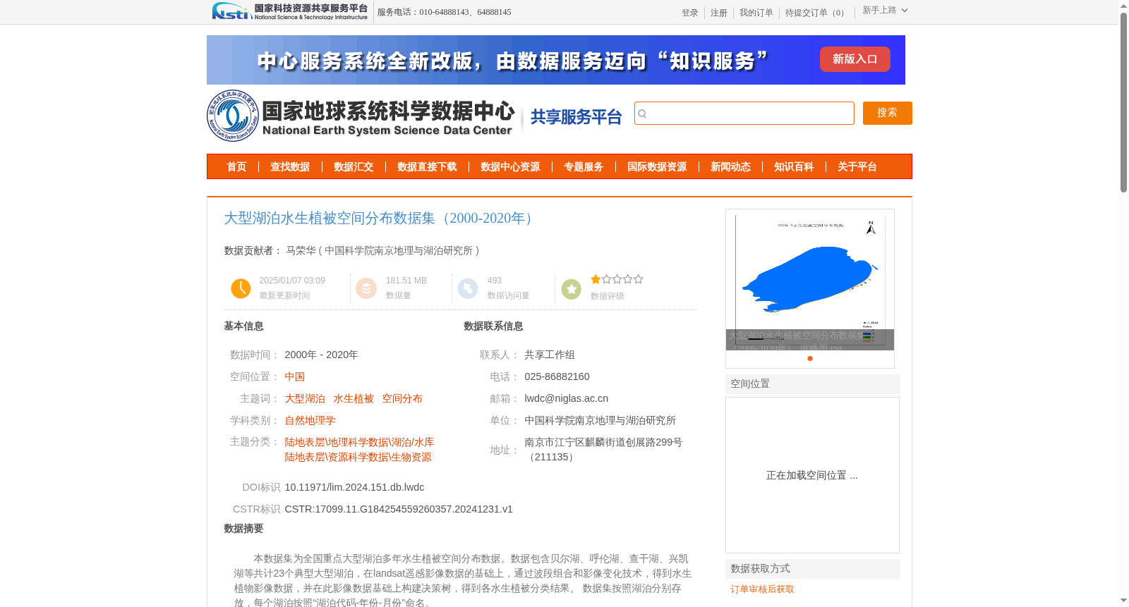
本数据集为全国重点大型湖泊多年水生植被空间分布数据。数据包含贝尔湖、呼伦湖、查干湖、兴凯湖等共计23个典型大型湖泊,在landsat遥感影像数据的基础上,通过波段组合和影像变化技术,得到水生植物影像数据,并在此影像数据基础上构建决策树,得到各水生植被分类结果。
数据集按照湖泊分别存放,每个湖泊按照“湖泊代码-年份-月份”命名。
This dataset is a multi-year spatial distribution dataset of aquatic vegetation for key large lakes across China. It covers a total of 23 typical large lakes including Buir Lake, Hulun Lake, Chagan Lake, Khanka Lake and others. Based on Landsat remote sensing image data, aquatic vegetation image data were acquired via band combination and image change detection technologies, and decision tree models were built on this image dataset to derive classification results for various aquatic vegetation types. The dataset is stored separately by lake, and the files of each lake are named in the format of "Lake Code-Year-Month".
提供机构:
中国科学院南京地理与湖泊研究所
创建时间:
2024-12-31
搜集汇总
数据集介绍
背景与挑战
背景概述
该数据集提供了2000-2020年中国23个大型湖泊的水生植被空间分布信息,基于Landsat遥感影像通过决策树分类方法生成,数据总体精度为73%。数据集按湖泊代码、年份和月份组织,适用于自然地理学和生物资源研究。
以上内容由遇见数据集搜集并总结生成


