农业遥感制图与面积估算服务
收藏杭州数据交易所2023-11-03 更新2024-05-15 收录
下载链接:
https://mall.hzdex.cn/data-exchange/113400900093004?from=/data-exchange
下载链接
链接失效反馈官方服务:
资源简介:
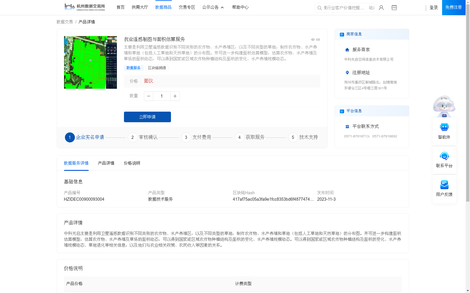
主要是利用卫星遥感数据识别不同类别的农作物、水产养殖区,以及不同类型的草地,制作农作物、水产养殖和草地(包括人工草地和天然草地)的分布图。并可进一步构建面积估算模型,估算农作物、水产养殖及草场的面积动态,可以得到国家或区域农作物种植结构及面积的变化、水产养殖规模动态。
This dataset primarily leverages satellite remote sensing data to identify diverse categories of crops, aquaculture areas and various types of grasslands, and generates distribution maps for crops, aquaculture areas and grasslands (including both artificial and natural grasslands). Moreover, area estimation models can be constructed to assess the temporal dynamic changes in the acreage of crops, aquaculture and grasslands, thereby enabling the acquisition of dynamic variations in national or regional crop planting structures and their corresponding acreages, as well as the scale dynamics of aquaculture.
提供机构:
中科光启空间信息技术有限公司
创建时间:
2023-10-31
搜集汇总
数据集介绍
背景与挑战
背景概述
该数据集提供农业遥感制图与面积估算服务,利用卫星遥感数据识别农作物、水产养殖区和草地类型,制作分布图并估算面积动态,可用于分析国家或区域农作物种植结构及面积变化、水产养殖规模动态等。
以上内容由遇见数据集搜集并总结生成


