黄土高原10m分辨率种植结构数据集(2018-2022年)
收藏资源简介:
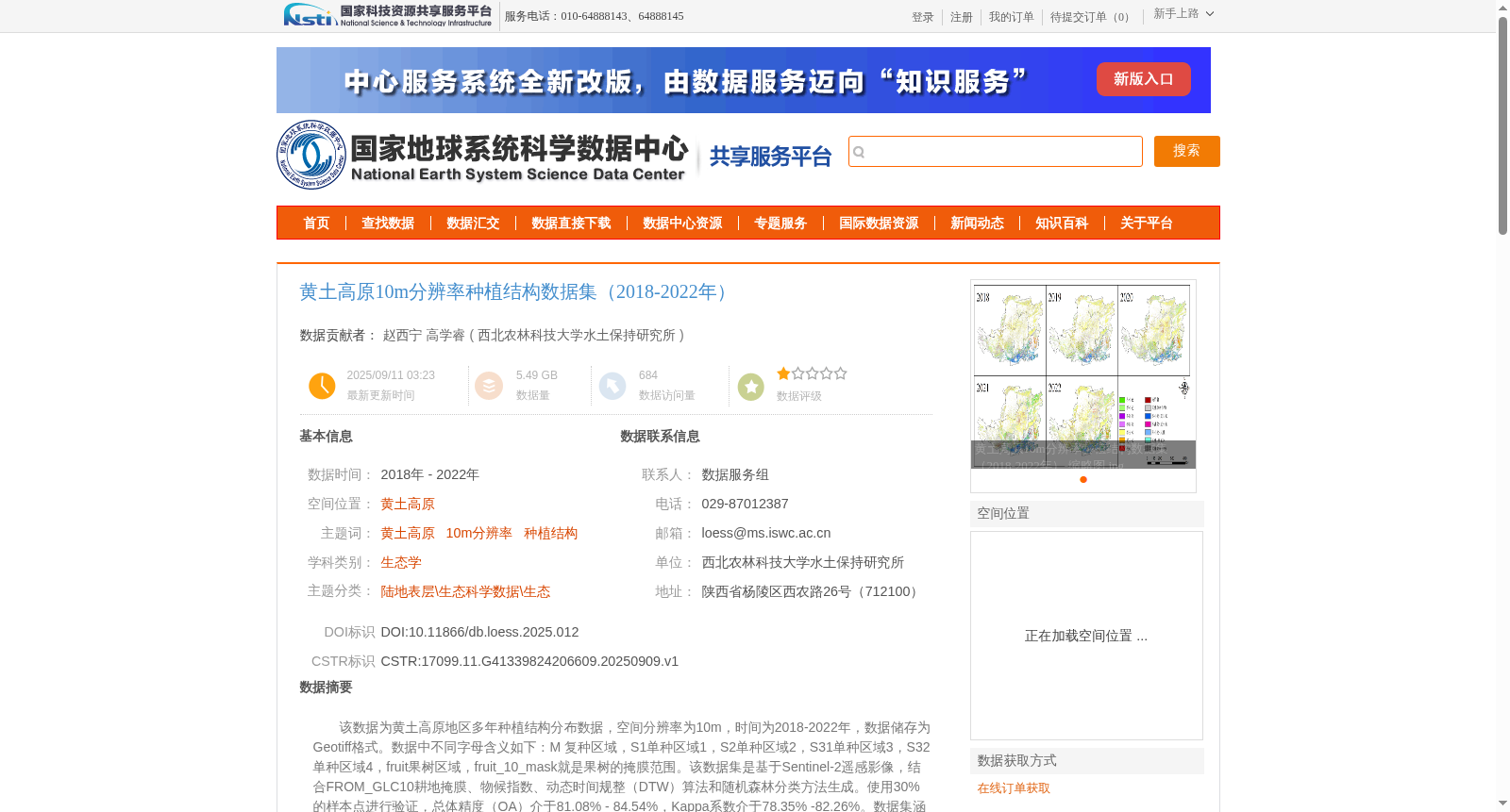
该数据为黄土高原地区多年种植结构分布数据,空间分辨率为10m,时间为2018-2022年,数据储存为Geotiff格式。数据中不同字母含义如下:M 复种区域,S1单种区域1,S2单种区域2,S31单种区域3,S32单种区域4,fruit果树区域,fruit_10_mask就是果树的掩膜范围。该数据集是基于Sentinel-2遥感影像,结合FROM_GLC10耕地掩膜、物候指数、动态时间规整(DTW)算法和随机森林分类方法生成。使用30%的样本点进行验证,总体精度(OA)介于81.08% - 84.54%,Kappa系数介于78.35% -82.26%。数据集涵盖冬小麦、春小麦、夏玉米、春玉米、大豆、马铃薯、冬油菜、春油菜等8类主要作物及多种轮作模式。数据可使用ArcGIS、QGIS 或其他类似软件中可视化和分析。
This dataset is multi-year cropping structure distribution data for the Loess Plateau, with a spatial resolution of 10 meters, covering the period from 2018 to 2022, and stored in GeoTIFF format. The meanings of different codes in the dataset are as follows: M represents multiple cropping areas; S1 represents single cropping area 1; S2 represents single cropping area 2; S31 represents single cropping area 3; S32 represents single cropping area 4; fruit represents fruit tree areas; fruit_10_mask is the mask range of fruit tree areas. This dataset was generated based on Sentinel-2 remote sensing images, combined with the FROM_GLC10 cropland mask, phenology indices, Dynamic Time Warping (DTW) algorithm, and Random Forest classification method. 30% of the sample points were used for validation, with the Overall Accuracy (OA) ranging from 81.08% to 84.54%, and the Kappa coefficient ranging from 78.35% to 82.26%. The dataset covers 8 major crop types including winter wheat, spring wheat, summer maize, spring maize, soybean, potato, winter rapeseed, and spring rapeseed, as well as multiple cropping rotation patterns. This dataset can be visualized and analyzed using ArcGIS, QGIS, or other similar geospatial software.