ARIA-SG Flood Proxy Maps: Indonesia Floods, Jan 2020
收藏资源简介:
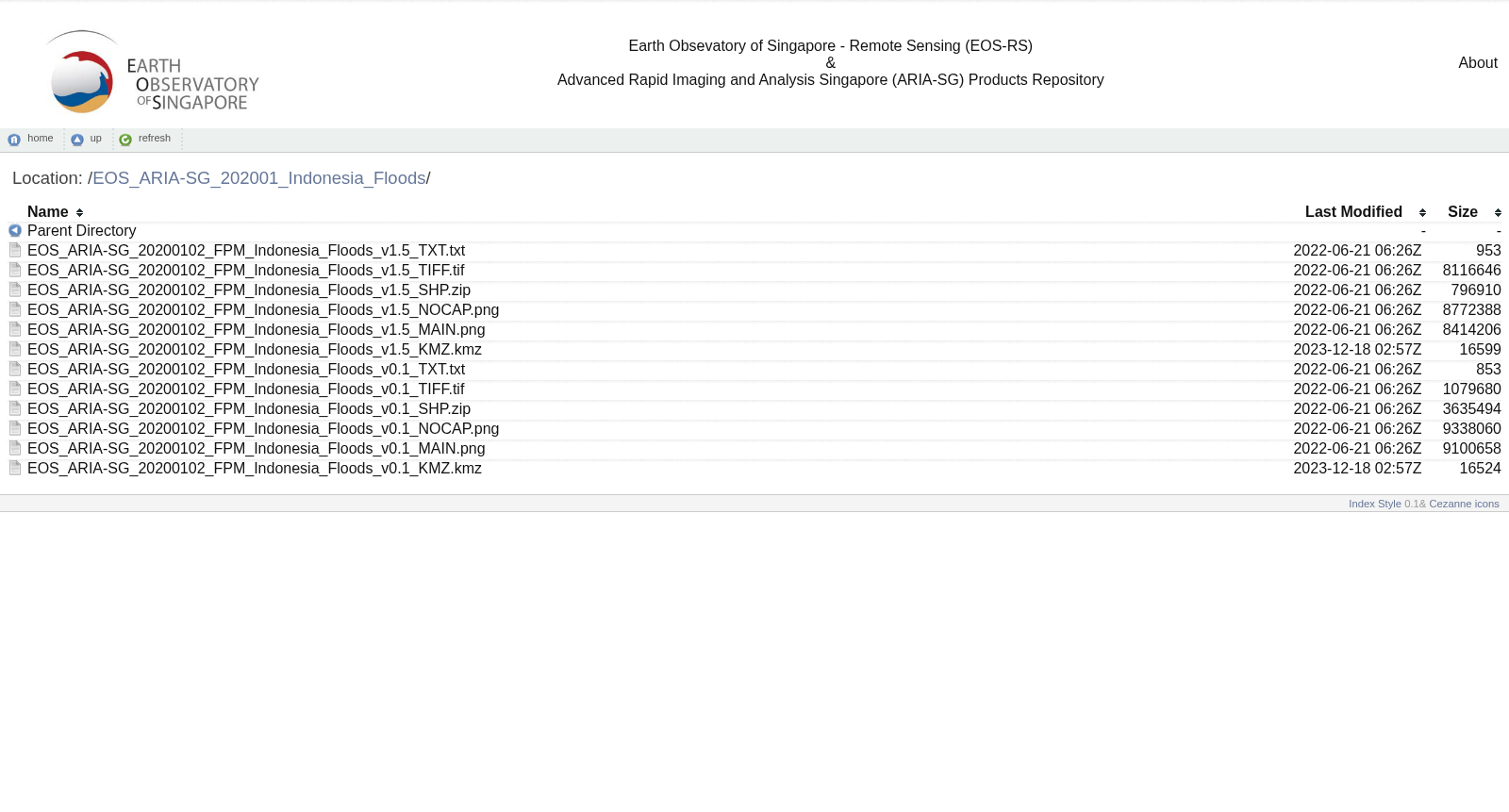
These preliminary Flood Proxy Maps (FPM) show areas which are likely flooded around Jakarta, Indonesia due to heavy rains. These maps were derived from synthetic aperture radar data acquired by the Copernicus Sentinel-1 satellites operated by the European Space Agency (ESA). Analysed by the ARIA-SG team at the Earth Observatory of Singapore (EOS) in collaboration with NASA-JPL, Caltech, Academia Sinica, and PetaBencana.id.
本批初步洪水代理地图(Flood Proxy Maps, FPM)展示了印度尼西亚雅加达周边因强降雨可能发生内涝的区域。该批地图基于欧洲空间局(European Space Agency, ESA)运营的哥白尼哨兵-1号卫星(Copernicus Sentinel-1)获取的合成孔径雷达(Synthetic Aperture Radar)数据生成。本数据集由新加坡地球观测站(Earth Observatory of Singapore, EOS)的ARIA-SG团队,联合美国国家航空航天局喷气推进实验室(NASA-JPL)、加州理工学院(California Institute of Technology, Caltech)、中央研究院(Academia Sinica)以及PetaBencana.id共同分析完成。