资源三号02星遥感影像数据集(2017)
收藏国家青藏高原科学数据中心2021-04-19 更新2024-03-07 收录
下载链接:
https://data.tpdc.ac.cn/zh-hans/data/425297e3-6f99-40b6-b026-33c85b5b11ec
下载链接
链接失效反馈官方服务:
资源简介:
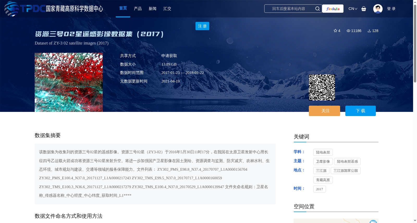
该数据集为收集到的资源三号02星的遥感影像。资源三号02星(ZY3-02)于2016年5月30日11时17分,在我国在太原卫星发射中心用长征四号乙运载火箭成功将资源三号02星发射升空。将进一步加强国产卫星影像在国土测绘、资源调查与监测、防灾减灾、农林水利、生态环境、城市规划与建设、交通等领域的服务保障能力。文件列表:
ZY302_PMS_E98.8_N37.4_20170707_L1A0000156704
ZY302_PMS_E100.4_N37.0_20171127_L1A0000217243
ZY302_TMS_E99.5_N37.0_20170717_L1A0000160059
ZY302_TMS_E100.3_N36.6_20171127_L1A0000217279
ZY302_TMS_E100.4_N37.0_20170529_L1A0000139947
文件夹命名规则:卫星名称_传感器名称_中心经度_中心纬度_获取时间_L1****
This dataset comprises remote sensing images collected by the Ziyuan-3 02 satellite (ZY3-02). The Ziyuan-3 02 satellite (ZY3-02) was successfully launched at 11:17 on May 30, 2016, using a Long March 4B carrier rocket at the Taiyuan Satellite Launch Center in China. This dataset will further enhance the service and support capabilities of domestic satellite imagery in fields including land surveying and mapping, resource investigation and monitoring, disaster prevention and mitigation, agriculture, forestry and water conservancy, ecological environment, urban planning and construction, transportation and other relevant sectors.
The file list is as follows:
ZY302_PMS_E98.8_N37.4_20170707_L1A0000156704
ZY302_PMS_E100.4_N37.0_20171127_L1A0000217243
ZY302_TMS_E99.5_N37.0_20170717_L1A0000160059
ZY302_TMS_E100.3_N36.6_20171127_L1A0000217279
ZY302_TMS_E100.4_N37.0_20170529_L1A0000139947
Folder naming convention: Satellite Name_Sensor Name_Central Longitude_Central Latitude_Acquisition Time_L1****
提供机构:
中国资源卫星应用中心
创建时间:
2019-02-12
搜集汇总
数据集介绍
背景与挑战
背景概述
该数据集是资源三号02星(ZY-3 02)在2017年获取的遥感影像集合,总大小为13.89 GB,覆盖时间从2017年1月23日至2018年1月22日,空间范围聚焦于青藏高原三江源地区(经度99.5°-100.4°,纬度37°-37.4°)。数据集主要用于国土测绘、资源调查、防灾减灾和生态环境监测等领域,支持国产卫星影像在陆地表层遥感中的应用,文件按卫星名称、传感器、中心经纬度、获取时间和级别进行标准化命名。
以上内容由遇见数据集搜集并总结生成


