青藏高原人口与城镇化进程数据(1990-2010)
收藏资源简介:
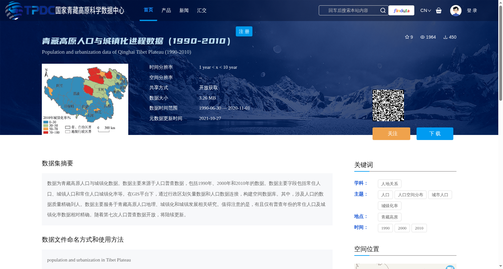
数据为青藏高原人口与城镇化数据。数据主要来源于人口普查数据,包括1990年、2000年和2010年的数据。数据主要字段包括常住人口、城镇人口和常住人口城镇化率等。在GIS平台下,通过行政区划矢量数据和人口数据连接,构建空间数据库。其中,涉及人口的数据质量精确到人。数据主要服务于青藏高原人口地理、城镇化和城镇发展相关研究。值得注意的是,有且仅有普查年份的常住人口及城镇化率数据相对精确。随着第七次人口普查数据开放,将陆续更新。
This dataset contains population and urbanization data for the Qinghai-Tibet Plateau. The data is primarily sourced from national population censuses covering the years 1990, 2000, and 2010. Key fields include resident population, urban population, and the urbanization rate of resident population, among other relevant metrics. A spatial database was constructed by linking administrative division vector data with population data on a GIS platform, and the population-related data has a precision down to the individual level. This dataset mainly serves research related to population geography, urbanization, and urban development on the Qinghai-Tibet Plateau. It is worth noting that only the resident population and urbanization rate data from the census years are relatively accurate. Regular updates will be carried out sequentially as the data from the Seventh National Population Census is made publicly available.