内蒙古扎兰屯有机肥、无机肥、秸秆还田、密度试验区厘米级无人机多光谱影像(2022年)
收藏国家地球系统科学数据中心2023-11-16 更新2024-03-04 收录
下载链接:
https://www.geodata.cn/data/datadetails.html?dataguid=221602436920599&docId=4396
下载链接
链接失效反馈官方服务:
资源简介:
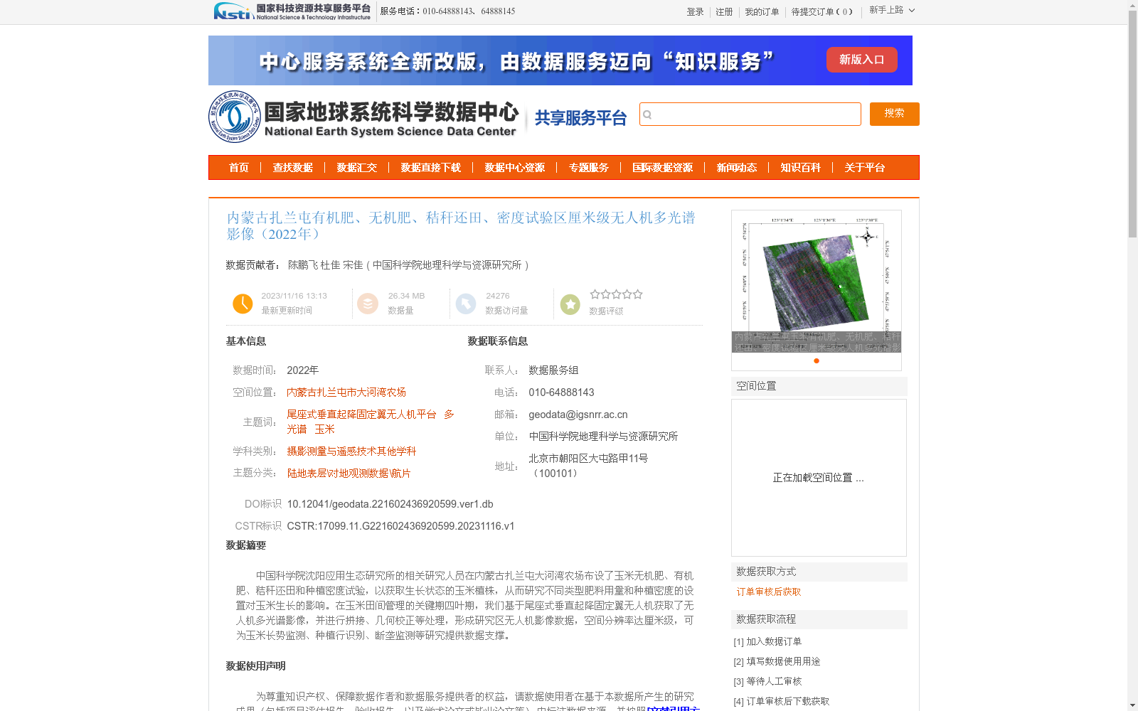
中国科学院沈阳应用生态研究所的相关研究人员在内蒙古扎兰屯大河湾农场布设了玉米无机肥、有机肥、秸秆还田和种植密度试验,以获取生长状态的玉米植株,从而研究不同类型肥料用量和种植密度的设置对玉米生长的影响。在玉米田间管理的关键期四叶期,我们基于尾座式垂直起降固定翼无人机获取了无人机多光谱影像,并进行拼接、几何校正等处理,形成研究区无人机影像数据,空间分辨率达厘米级,可为玉米长势监测、种植行识别、断垄监测等研究提供数据支撑。
Researchers from the Institute of Applied Ecology, Shenyang, Chinese Academy of Sciences conducted experiments involving maize inorganic fertilization, organic fertilization, straw return, and planting density at Dahewan Farm, Zhalantun, Inner Mongolia, to collect maize plants during their growth period and investigate the effects of different fertilizer application rates and planting density settings on maize growth. At the four-leaf stage, a critical period for maize field management, we acquired multispectral imagery using a tail-sitter vertical take-off and landing (VTOL) fixed-wing unmanned aerial vehicle (UAV). After performing post-processing steps including image mosaicking and geometric correction, we generated UAV image datasets of the study area with centimeter-level spatial resolution. These datasets can provide data support for studies such as maize growth monitoring, planting row identification, and ridge break monitoring.
提供机构:
中国科学院地理科学与资源研究所
创建时间:
2023-11-16
搜集汇总
数据集介绍
背景与挑战
背景概述
该数据集是2022年在内蒙古扎兰屯大河湾农场获取的玉米种植试验区厘米级无人机多光谱影像,旨在研究有机肥、无机肥、秸秆还田和种植密度对玉米生长的影响。数据由尾座式垂直起降固定翼无人机搭载多光谱相机采集,空间分辨率约为8.81厘米,覆盖玉米四叶期关键生育阶段,适用于玉米长势监测和农业遥感研究。数据通过订单审核方式提供,为农业科学实验提供了高精度遥感支撑。
以上内容由遇见数据集搜集并总结生成


