青藏高原多源融合三维大气数据集(2019-2021)
收藏国家青藏高原科学数据中心2025-04-16 更新2025-04-19 收录
下载链接:
https://data.tpdc.ac.cn/zh-hans/data/8b552096-f028-458c-8004-bda9bdd3c855
下载链接
链接失效反馈官方服务:
资源简介:
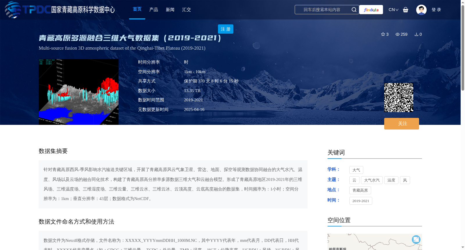
针对青藏高原西风-季风影响水汽输送关键区域,开展了青藏高原风云气象卫星、雷达、地面、探空等观测数据协同融合的大气水汽、温度、风场以及云场的融合同化技术,构建了青藏高原高分辨率多源数据三维大气和云融合模型。形成了青藏高原地区2019-2021年的三维风场、三维温度场、三维湿度场、三维云量、三维云水、三维云冰、云顶高度、云底高度融合的数据集,时间频率为:1小时;空间分辨率为:1km;垂直分辨率:43层;数据格式为NetCDF。
Aiming at the key region of water vapor transport affected by westerlies and monsoon over the Qinghai-Tibet Plateau, we developed synergistic fusion and assimilation technologies for atmospheric water vapor, temperature, wind fields and cloud fields by integrating FY meteorological satellite, radar, ground-based and radiosonde observational data. Subsequently, a high-resolution multi-source data-based 3D atmospheric and cloud fusion model over the Qinghai-Tibet Plateau was constructed. A fused dataset covering the 2019–2021 period over the Qinghai-Tibet Plateau was then established, which includes 3D wind fields, 3D temperature fields, 3D humidity fields, 3D cloud amount, 3D cloud water, 3D cloud ice, cloud top height and cloud base height. The dataset has a temporal resolution of 1 hour, spatial resolution of 1 km, vertical resolution of 43 layers, and uses NetCDF as its data format.
提供机构:
刘瑞霞
创建时间:
2025-02-28
搜集汇总
数据集介绍
背景与挑战
背景概述
该数据集是2019-2021年青藏高原地区的多源融合三维大气数据,包含风场、温度、湿度、云参数等要素,时间分辨率1小时,空间分辨率1km-10km,数据格式为NetCDF,总大小13.35TB。
以上内容由遇见数据集搜集并总结生成


