川藏铁路沿线典型冻融灾害分布数据(2020)
收藏国家青藏高原科学数据中心2023-05-25 更新2024-03-01 收录
下载链接:
https://data.tpdc.ac.cn/zh-hans/data/824bbae8-31ac-4ed3-ab53-c91b329c6a31
下载链接
链接失效反馈官方服务:
资源简介:
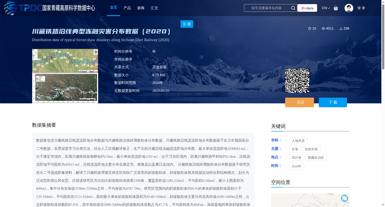
数据集包含川藏铁路沿线泥流阶地分布数据与川藏铁路沿线碎屑散粒体分布数据,川藏铁路沿线泥流阶地分布数据基于近几年我国高分二号数据,采用深度学习分类方法,结合人工目视解译修正,生产出的川藏沿线冻融泥流阶地分布图。最大单块泥流阶地1030043 m2,位于康定市境内,距离川藏铁路新都桥站约12km,最小单块泥流阶地1102 m2,位于乃东区境内,距离川藏铁路甲村站约3.3km,沿线泥流阶地平均面积为45013 m2,沿线泥流阶地主要分布在康定市、察雅县以及桑日县境内。
川藏铁路沿线碎屑散粒体分布数据基于研究区高分二号遥感影像资料,解译了川藏铁路理塘至林芝区间段广泛发育的斜坡散粒体,斜坡散粒体将其根据流动特征和结构模式,划分为活动型和原位风化型。目前该研究区共识别出斜坡散粒体病害2308条,覆盖面积达1283.21km2,平均面积0.56km2,最小上图面积为600m2,集中分布在海拔3700m~5500m之间,平均海拔为4767.78m。研究区范围内的斜坡散粒体约95%的单块斜坡散粒体面积小于2.0×10⁴m2,平均面积在55.5×10⁴m2,面积最大单块斜坡散粒体面积为9148×104m2;斜坡散粒体主要分布在高程值4500-5400m之间,占总斜坡散粒体块数的87.9%,其中高程值在5000-5400m的斜坡散粒体块数占为47.7%,平均高程值为4945m,海拔最低的单块斜坡散粒体其高程值为3241m;研究区范围内的斜坡散粒体坡度值主要介于30-70°之间之间,占总斜坡散粒体块数的89.5%。该数据集制定数字加工操作规范。加工过程中,规定操作人员严格遵守操作规范,同时由专人负责质量审查。经多人复查审核,其数据完整性、逻辑一致性、位置精度、属性精度、接边精度、现势性均符合国家测绘局制定的有关技术规定和标准的要求,质量优良可靠。为冻融泥流发育规律和古气候研究提与川藏工程走廊斜坡散粒体地理分布特点提供了研究基础。
This dataset includes two types of distribution data along the Sichuan-Tibet Railway: distribution data of frozen-thawed debris flow terraces and distribution data of clastic loose deposits.
The distribution data of frozen-thawed debris flow terraces along the Sichuan-Tibet Railway was generated using deep learning classification methods combined with manual visual interpretation corrections, based on Gaofen-2 (GF-2) satellite imagery from recent years. The largest single debris flow terrace covers an area of 1,030,043 m², located in Kangding City, approximately 12 km away from the Xinduqiao Station of the Sichuan-Tibet Railway. The smallest single terrace is 1,102 m², situated in Naidong District, about 3.3 km from the Jiacun Station. The average area of the terraces along the railway is 45,013 m², and they are mainly distributed in Kangding City, Chaya County, and Sangri County.
The distribution data of clastic loose deposits along the Sichuan-Tibet Railway was developed based on Gaofen-2 remote sensing imagery of the study area. Slope clastic loose deposits widely developed in the Litang-to-Nyingchi section of the Sichuan-Tibet Railway were interpreted, and they were classified into two categories according to their flow characteristics and structural patterns: active-type and in-situ weathered-type. A total of 2,308 slope clastic loose deposit hazards have been identified in the study area, covering a total area of 1,283.21 km² with an average area of 0.56 km². The minimum mapped area is 600 m². These deposits are primarily concentrated at elevations between 3,700 m and 5,500 m, with an average elevation of 4,767.78 m. Approximately 95% of the single deposits have an area smaller than 2.0×10⁴ m², with an overall average area of 55.5×10⁴ m². The largest single deposit covers an area of 91.48×10⁶ m². Most of the slope clastic loose deposits are distributed at elevations between 4,500 m and 5,400 m, accounting for 87.9% of the total number of deposits; specifically, deposits at 5,000–5,400 m account for 47.7% of the total, with an average elevation of 4,945 m. The lowest elevation of a single deposit is 3,241 m. The slope angles of the deposits in the study area mainly range from 30° to 70°, covering 89.5% of the total number of deposits.
This dataset was developed following standardized digital processing procedures. During the processing, operators were required to strictly comply with the operational specifications, and dedicated personnel were responsible for quality inspection. After multiple reviews and audits, the data’s integrity, logical consistency, positional accuracy, attribute accuracy, edge-matching accuracy, and currency all meet the relevant technical regulations and standards formulated by the National Bureau of Surveying and Mapping, ensuring excellent and reliable data quality. This dataset provides a research foundation for studies on the development rules of frozen-thawed debris flows and paleoclimate, as well as the geographical distribution characteristics of slope clastic loose deposits in the Sichuan-Tibet engineering corridor.
提供机构:
江利明,黄荣刚,王慧妮
创建时间:
2021-05-11
搜集汇总
数据集介绍
背景与挑战
背景概述
该数据集包含2020年川藏铁路沿线泥流阶地和碎屑散粒体两类典型冻融灾害的分布数据,基于高分二号遥感影像和深度学习分类方法生成,为冻融泥流发育规律和古气候研究提供了基础。数据覆盖面积广,灾害类型多样,具有较高的科研和工程应用价值。
以上内容由遇见数据集搜集并总结生成


