Soil Water Erosion Dataset of Northeast China from 2001 to 2020
收藏资源简介:
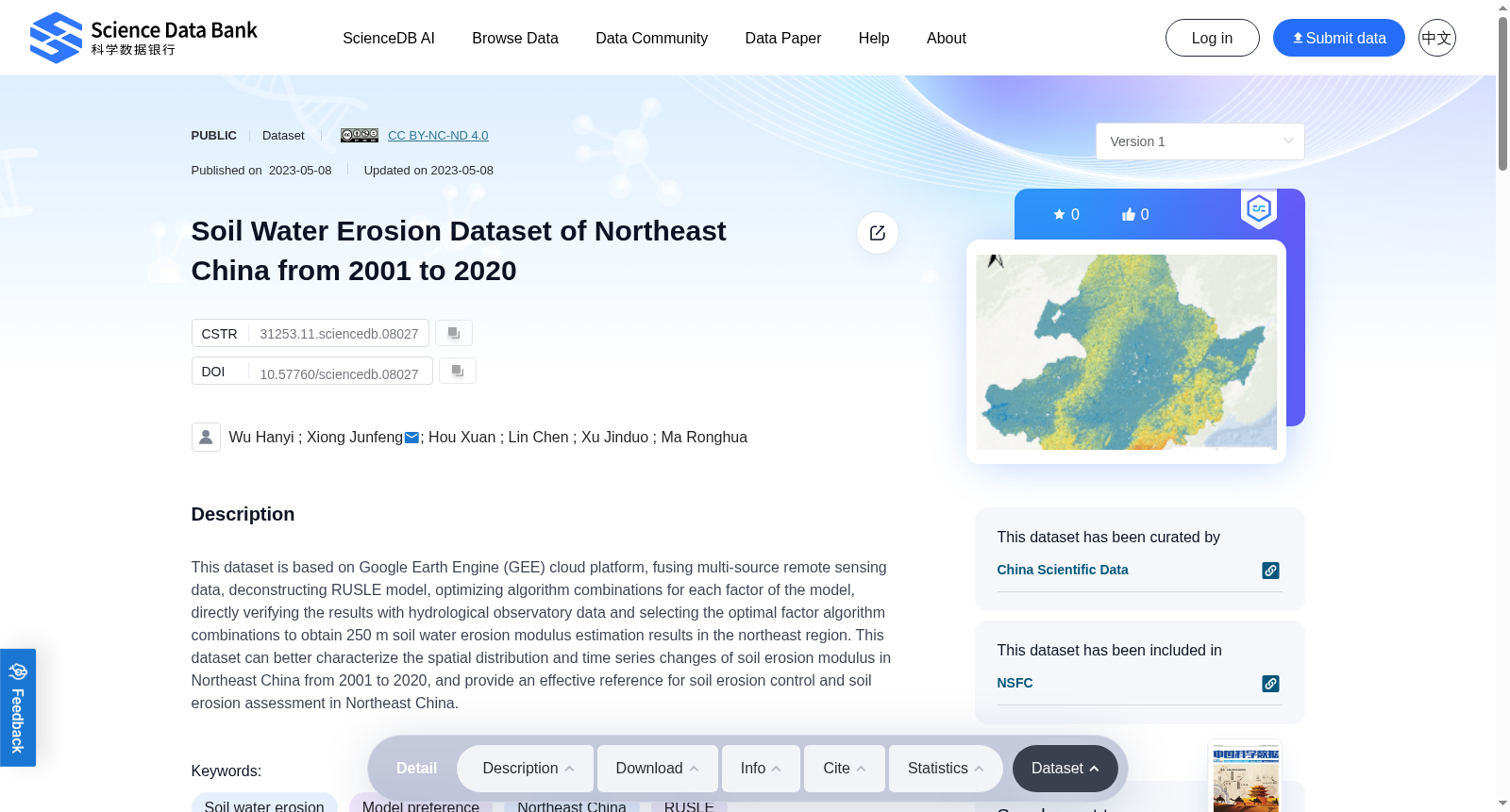
This dataset is based on Google Earth Engine (GEE) cloud platform, fusing multi-source remote sensing data, deconstructing RUSLE model, optimizing algorithm combinations for each factor of the model, directly verifying the results with hydrological observatory data and selecting the optimal factor algorithm combinations to obtain 250 m soil water erosion modulus estimation results in the northeast region. This dataset can better characterize the spatial distribution and time series changes of soil erosion modulus in Northeast China from 2001 to 2020, and provide an effective reference for soil erosion control and soil erosion assessment in Northeast China.
本数据集基于谷歌地球引擎(Google Earth Engine,GEE)云平台,融合多源遥感数据,拆解修正通用土壤流失方程(Revised Universal Soil Loss Equation,RUSLE)模型,针对该模型的各因子优化算法组合,采用水文观测站数据直接对模型结果进行验证,并筛选最优因子算法组合,最终生成中国东北地区250米分辨率的土壤水蚀模数估算成果。本数据集可较好表征2001年至2020年中国东北地区土壤侵蚀模数的空间分布与时序变化特征,能够为东北地区的土壤侵蚀治理与土壤侵蚀评估提供有效参考依据。