全球温升1.5℃和2℃中国洪涝灾害危险性数据集
收藏国家青藏高原科学数据中心2025-10-09 更新2025-11-01 收录
下载链接:
https://data.tpdc.ac.cn/zh-hans/data/b40a9af0-cff1-4854-ae31-83b72cdfd04f
下载链接
链接失效反馈官方服务:
资源简介:
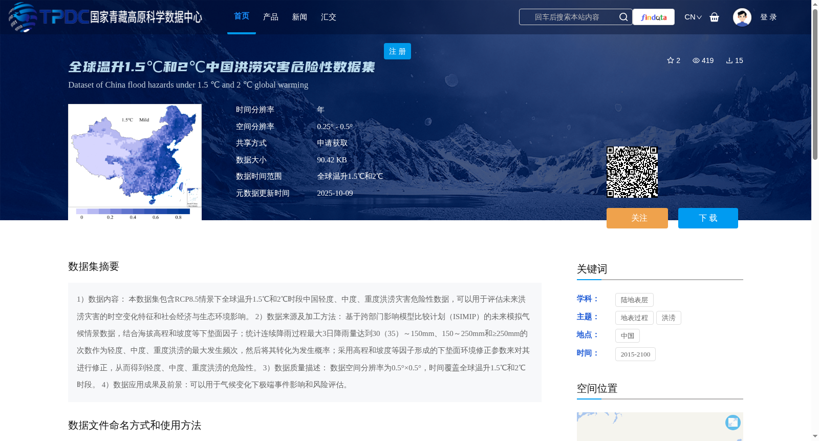
1)数据内容: 本数据集包含RCP8.5情景下全球温升1.5℃和2℃时段中国轻度、中度、重度洪涝灾害危险性数据,可以用于评估未来洪涝灾害的时空变化特征和社会经济与生态环境影响。 2)数据来源及加工方法: 基于跨部门影响模型比较计划(ISIMIP)的未来模拟气候情景数据,结合海拔高程和坡度等下垫面因子;统计连续降雨过程最大3日降雨量达到30(35)~150mm、150~250mm和≥250mm的次数作为轻度、中度、重度洪涝的最大发生频次,然后将其转化为发生概率;采用高程和坡度等因子形成的下垫面环境修正参数来对其进行修正,从而得到轻度、中度、重度洪涝的危险性。 3)数据质量描述: 数据空间分辨率为0.5°×0.5°,时间覆盖全球温升1.5℃和2℃时段。 4)数据应用成果及前景:可以用于气候变化下极端事件影响和风险评估。
1) Data Content: This dataset contains hazard data of mild, moderate and severe flood disasters in China during the periods when global temperature rise reaches 1.5°C and 2°C under the RCP8.5 scenario. It can be used to evaluate the spatiotemporal variation characteristics of future flood disasters and their socio-economic and eco-environmental impacts.
2) Data Source and Processing Method: Based on the future simulated climate scenario data from the Inter-Sectoral Impact Model Intercomparison Project (ISIMIP), combined with underlying surface factors such as elevation and slope; count the number of times that the maximum 3-day rainfall during continuous rainfall events reaches 30 (35)–150 mm, 150–250 mm and ≥250 mm as the maximum occurrence frequencies of mild, moderate and severe floods, then convert them into occurrence probabilities; correct the results using the underlying surface environment correction parameters formed by factors such as elevation and slope, so as to obtain the hazard levels of mild, moderate and severe flood disasters.
3) Data Quality Description: The spatial resolution of the dataset is 0.5°×0.5°, and the temporal coverage covers the periods when global temperature rise reaches 1.5°C and 2°C.
4) Data Application Achievements and Prospects: It can be used for the impact and risk assessment of extreme events under climate change.
提供机构:
刘路路
创建时间:
2025-10-04
搜集汇总
数据集介绍
背景与挑战
背景概述
该数据集提供了RCP8.5情景下全球温升1.5℃和2℃时段中国轻度、中度、重度洪涝灾害的危险性数据,基于ISIMIP气候情景和下垫面因子修正生成,空间分辨率为0.25° - 0.5°,时间覆盖2015-2100年,主要用于评估未来洪涝灾害的时空变化特征及气候变化下的极端事件风险。
以上内容由遇见数据集搜集并总结生成


