青藏高原基础地理数据(2015)
收藏资源简介:
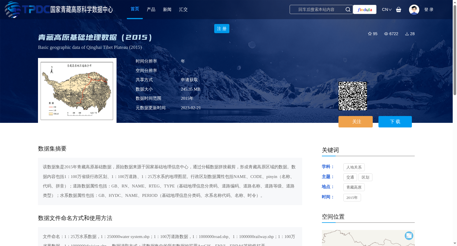
该数据集是2015年青藏高原基础数据,原始数据来源于国家基础地理信息中心,通过分幅数据拼接裁剪,形成青藏高原区域的数据。数据内容包括1:100万省级行政区划、1:100万道路、1:25万水系的地理图层。行政区划数据属性包括NAME、CODE、pinyin(名称、代码、拼音);道路数据属性包括:GB、RN、NAME、RTEG、TYPE(基础地理信息分类码、道路编码、道路名称、道路等级、道路类型);水系数据属性包括:GB、HYDC、NAME、PERIOD(基础地理信息分类码、水系名称代码、名称、时令)。
This dataset contains basic geospatial data of the Qinghai-Tibet Plateau from 2015. The original data was sourced from the National Geomatics Center of China, and was formed by mosaicking and clipping tiled data to create the regional dataset covering the Qinghai-Tibet Plateau. The dataset includes three geographic layers at corresponding scales: 1:1,000,000 scale provincial administrative divisions, 1:1,000,000 scale roads, and 1:250,000 scale water systems. The attributes of the administrative division data include NAME, CODE and pinyin, corresponding to name, code and pinyin respectively. The attributes of the road data include GB, RN, NAME, RTEG and TYPE, which stand for basic geospatial information classification code, road code, road name, road grade and road type respectively. The attributes of the water system data include GB, HYDC, NAME and PERIOD, which represent basic geospatial information classification code, water system name code, name and seasonal status respectively.