川藏铁路沿线典型植被无人机高光谱遥感数据(2019)
收藏国家青藏高原科学数据中心2023-05-25 更新2024-03-01 收录
下载链接:
https://data.tpdc.ac.cn/zh-hans/data/dbaa2cdc-269f-4fc4-98bf-a85508b528c7
下载链接
链接失效反馈官方服务:
资源简介:
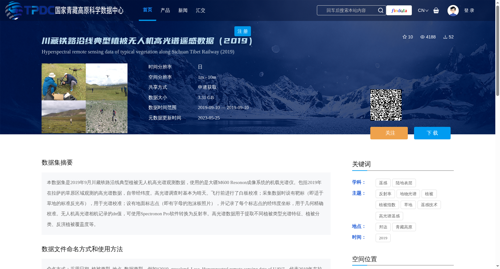
本数据集是2019年9月川藏铁路沿线典型植被无人机高光谱观测数据,使用的是大疆M600 Resonon成像系统的机载光谱仪。包括2019年在拉萨的草原区域观测的高光谱数据,自带经纬度。高光谱调查时基本为晴天。飞行前进行了白板校准;采集数据时设有靶标(即适于草地的标准反光布),用于光谱校准;设有地面标志点(即有字母的泡沫板照片),并记录了每个标志点的经纬度坐标,用于几何精确校准。无人机高光谱相机记录的dn值,可使用Spectronon Pro软件转换为反射率。高光谱数据用于提取不同植被类型光谱特征、植被分类、反演植被覆盖度等。
This dataset contains unmanned aerial vehicle (UAV) hyperspectral observation data of typical vegetation along the Sichuan-Tibet Railway, collected in September 2019 using an airborne spectrometer integrated into the DJI M600 Resonon imaging system. It includes hyperspectral data collected from grassland areas in Lhasa in 2019, with accompanying latitude and longitude coordinates. Most hyperspectral surveys were conducted on sunny days. Whiteboard calibration was performed prior to each flight. During data collection, a target (standard reflective cloth suitable for grasslands) was deployed for spectral calibration; ground control points (foam board markers with printed letters) were also set up, and their latitude and longitude coordinates were recorded for precise geometric calibration. The digital number (DN) values recorded by the UAV hyperspectral camera can be converted to reflectance using Spectronon Pro software. This dataset can be used for extracting spectral features of different vegetation types, vegetation classification, and vegetation coverage inversion, among other applications.
提供机构:
周广胜,汲玉河,吕晓敏,宋兴阳
创建时间:
2021-03-31
搜集汇总
数据集介绍
背景与挑战
背景概述
该数据集是2019年9月在川藏铁路沿线拉萨草原区域通过无人机搭载Resonon成像系统采集的高光谱遥感数据,包含经纬度信息,用于植被分类和覆盖度反演。数据经过白板校准和地面标志点校正,需使用Spectronon Pro软件转换为反射率进行分析。
以上内容由遇见数据集搜集并总结生成


