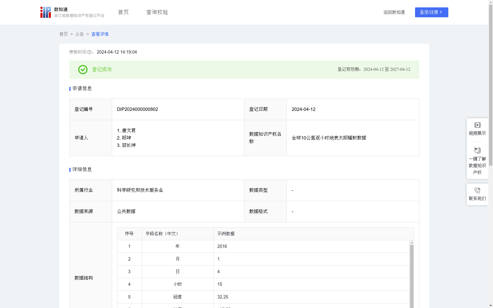
全球10公里逐小时地表太阳辐射数据
收藏浙江省数据知识产权登记平台2024-04-12 更新2024-05-08 收录
下载链接:
https://www.zjip.org.cn/home/announce/trends/32371
下载链接
链接失效反馈官方服务:
资源简介:
该数据集可用于太阳能领域的光伏、光热发电潜力仿真模拟及为其他太阳能工程应用、水文建模和地表建模等。1)数据使用算法说明:数据中的全球地表水平面太阳总辐射和太阳散射辐射数据保存在一起,每个文件保存为3600*1800的数组nc文件,可用科学计算软件matlab或Python进行读取,两个维度分别代表经度和纬度,每个文件代表不同的时间(年,月,日和小时),时间位于每个文件文件名中。处理时,数据的经度范围为东京0度-360度,间隔为0.1度(10公里),共3600个,纬度范围为北纬90度到-90度,间隔为0.1度(10公里),共1800个,每年有365*24或366*24个文件,对应数据的3600*1800的结构。
(2)数据构建过程中的算法说明
模型发展:基于辐射传输理论,并通过考虑太阳光到达地表过程的各种衰减因子,发展了适合于卫星遥感的纯物理参数化反演方案。
模型输入:融合全球静止卫星和极轨卫星各种产品,如云光学参数、大气含水量、臭氧含量、高程、气溶胶光学厚度、反照率等模型输入格点数据。
模型输出:将制备好的输入数据带入反演模型,估算出总辐射和散射辐射,并根据经纬度和时间排序,形成纬度*经度(1800*3600)的数组,即地表太阳辐射数据集。
数据应用:地表过程模拟和太阳能工程应用的最基础的输入数据。
This dataset can be used for photovoltaic (PV) and concentrated solar power (CSP) generation potential simulation in the solar energy domain, as well as for other solar engineering applications, hydrological modeling, surface modeling, and other related scenarios.
1) Data Usage and Algorithm Instructions:
The dataset stores both global horizontal total solar radiation and diffuse solar radiation data. Each file is a netCDF (.nc) file containing a 3600×1800 array, which can be read using scientific computing software such as MATLAB or Python. The two dimensions correspond to longitude and latitude, respectively. Each file corresponds to a specific time (year, month, day, and hour), with the time information embedded in the filename. The longitude range of the dataset is 0° to 360°, with an interval of 0.1° (approximately 10 km), resulting in 3600 longitude grid points. The latitude range spans from 90°N to 90°S, with an interval of 0.1° (approximately 10 km), totaling 1800 latitude grid points. There are 365×24 or 366×24 files per year, all following the 3600×1800 array structure.
2) Algorithm Description for Data Construction:
Model Development: A purely physical parametric inversion scheme suitable for satellite remote sensing was developed based on radiative transfer theory, by considering various attenuation factors during the propagation of sunlight to the Earth's surface.
Model Inputs: Grid-point input data for the model are fused from various products of global geostationary and polar-orbiting satellites, including cloud optical parameters, atmospheric water vapor content, ozone content, elevation, aerosol optical depth (AOD), albedo, and other relevant parameters.
Model Outputs: The prepared input data are fed into the inversion model to estimate total solar radiation and diffuse solar radiation, which are then sorted by latitude, longitude, and time to form a latitude×longitude (1800×3600) array, constituting the surface solar radiation dataset.
Data Application: This dataset serves as the most fundamental input data for surface process simulation and solar energy engineering applications.
提供机构:
唐文君,阳坤,邵长坤
创建时间:
2024-03-28
搜集汇总
数据集介绍
特点
全球10公里逐小时地表太阳辐射数据集是一个大规模的公共数据集,包含2043532800000条数据,按需更新。该数据集适用于太阳能领域的光伏、光热发电潜力仿真模拟,以及水文建模和地表建模等应用。数据通过特定的算法处理,保存为3600*1800的数组nc文件,可通过科学计算软件如matlab或Python读取。
以上内容由遇见数据集搜集并总结生成


