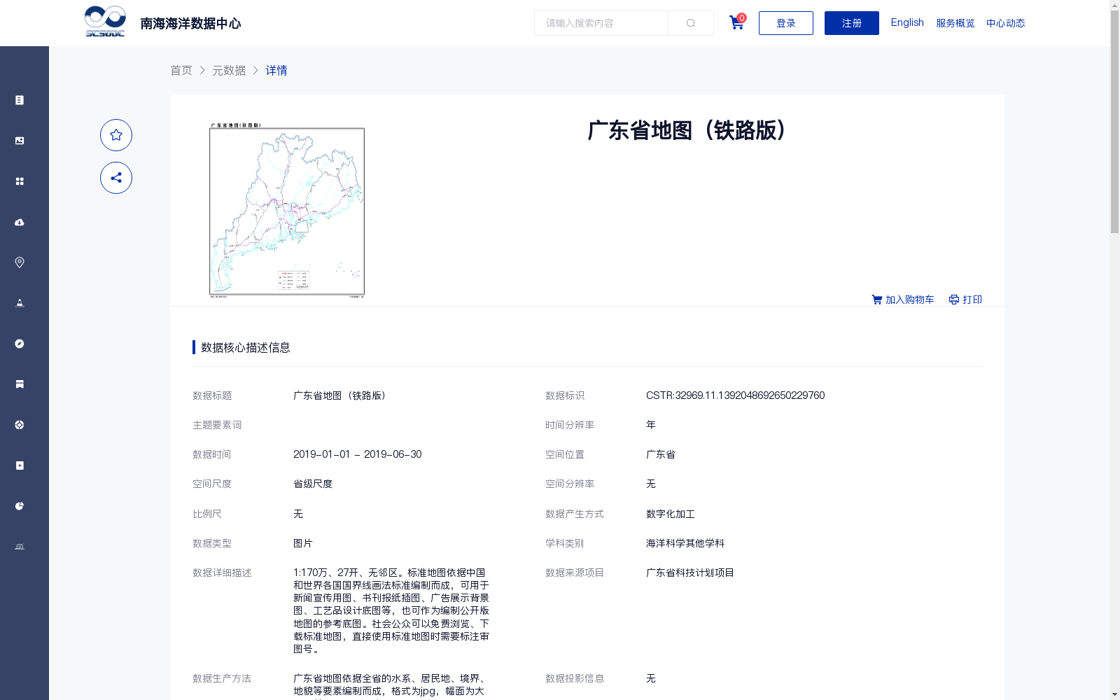
广东省地图(铁路版)
收藏南海海洋数据中心2024-03-01 收录
下载链接:
https://data.scsio.ac.cn/metaData-detail/1392048692650229760
下载链接
链接失效反馈官方服务:
资源简介:
1:170万、27开、无邻区。标准地图依据中国和世界各国国界线画法标准编制而成,可用于新闻宣传用图、书刊报纸插图、广告展示背景图、工艺品设计底图等,也可作为编制公开版地图的参考底图。社会公众可以免费浏览、下载标准地图,直接使用标准地图时需要标注审图号。
1:1,700,000 scale, 27-sheet format, no adjacent areas. The standard maps are compiled in accordance with the standards for the delineation of national boundaries of China and other countries worldwide. They may be used as maps for news publicity, illustrations for books, newspapers and periodicals, background images for advertising displays, base maps for craft product design, and can also serve as reference base maps for compiling publicly released maps. The general public can browse and download the standard maps free of charge, and the map review approval number must be indicated when the standard maps are used directly.
提供机构:
广东省自然资源厅
搜集汇总
数据集介绍
背景与挑战
背景概述
该数据集是2019年广东省的铁路版地图,以JPG图片格式提供,比例为1:170万,基于数字化加工编制,包含水系、居民地等要素。地图依据标准国界线绘制,可用于新闻宣传、书刊插图等公开用途,但使用时需标注审图号,并完全开放共享。
以上内容由遇见数据集搜集并总结生成


