浙江省数字高程数据产品(ASTER GDEM V2数据)
收藏国家地球系统科学数据中心2021-04-26 更新2024-03-04 收录
下载链接:
https://www.geodata.cn/data/datadetails.html?dataguid=82828798302158&docId=11064
下载链接
链接失效反馈官方服务:
资源简介:
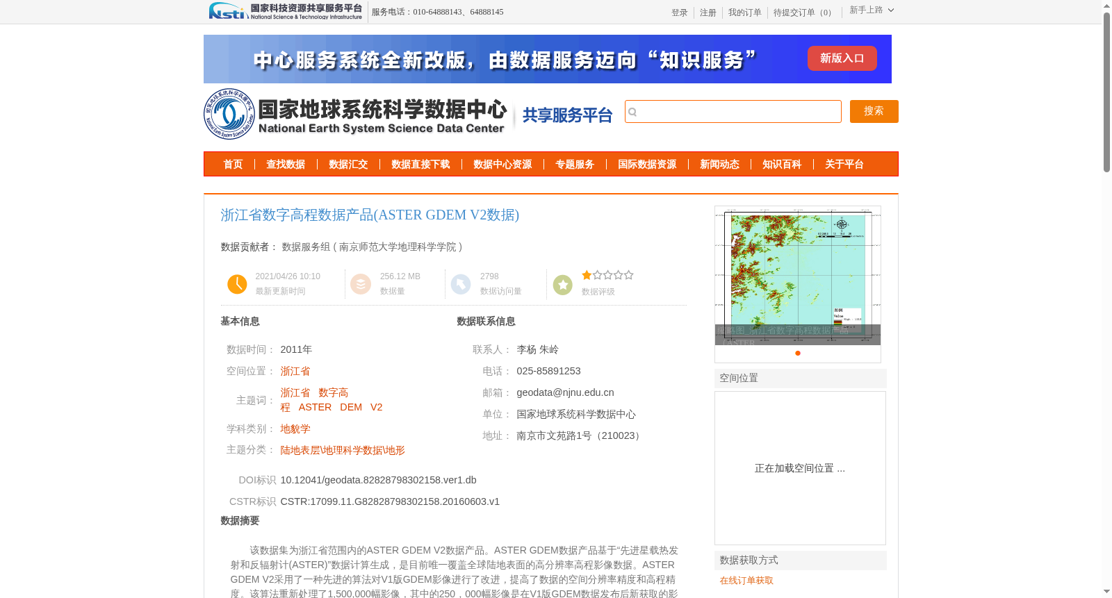
该数据集为浙江省范围内的ASTER GDEM V2数据产品。ASTER GDEM数据产品基于“先进星载热发射和反辐射计(ASTER)”数据计算生成,是目前唯一覆盖全球陆地表面的高分辨率高程影像数据。ASTER GDEM V2采用了一种先进的算法对V1版GDEM影像进行了改进,提高了数据的空间分辨率精度和高程精度。该算法重新处理了1,500,000幅影像,其中的250,000幅影像是在V1版GDEM数据发布后新获取的影像。此全球30米的数字高程数据产品可以和全球90米分辨率数字高程数据产品互相补充使用。
This dataset comprises the ASTER GDEM V2 data product covering Zhejiang Province. The ASTER GDEM (Advanced Spaceborne Thermal Emission and Reflection Radiometer Global Digital Elevation Model) product is computationally generated using data from the ASTER instrument, and it is currently the only high-resolution elevation data product covering the entire global land surface. ASTER GDEM V2 adopts an advanced algorithm to refine the GDEM Version 1 imagery, improving both the spatial resolution accuracy and elevation accuracy of the dataset. This algorithm has reprocessed 1,500,000 images, 250,000 of which were newly acquired after the release of the GDEM Version 1 data. This global 30-meter resolution digital elevation data product can be used complementarily with global 90-meter resolution digital elevation data products.
提供机构:
南京师范大学地理科学学院
创建时间:
2016-06-03
搜集汇总
数据集介绍
背景与挑战
背景概述
该数据集为浙江省范围内的ASTER GDEM V2数字高程数据产品,基于先进星载热发射和反辐射计(ASTER)数据计算生成,具有30米的空间分辨率和高程精度,适用于地貌学等科学研究。数据经过日本METI和美国NASA验证,质量可靠。
以上内容由遇见数据集搜集并总结生成


