南水北调工程核心区域水文气象、土壤水力性质与地表生态特征观测数据集
收藏国家青藏高原科学数据中心2025-06-11 更新2025-06-28 收录
下载链接:
https://data.tpdc.ac.cn/zh-hans/data/df3f504e-3362-4c88-9d57-7754f989c996
下载链接
链接失效反馈官方服务:
资源简介:
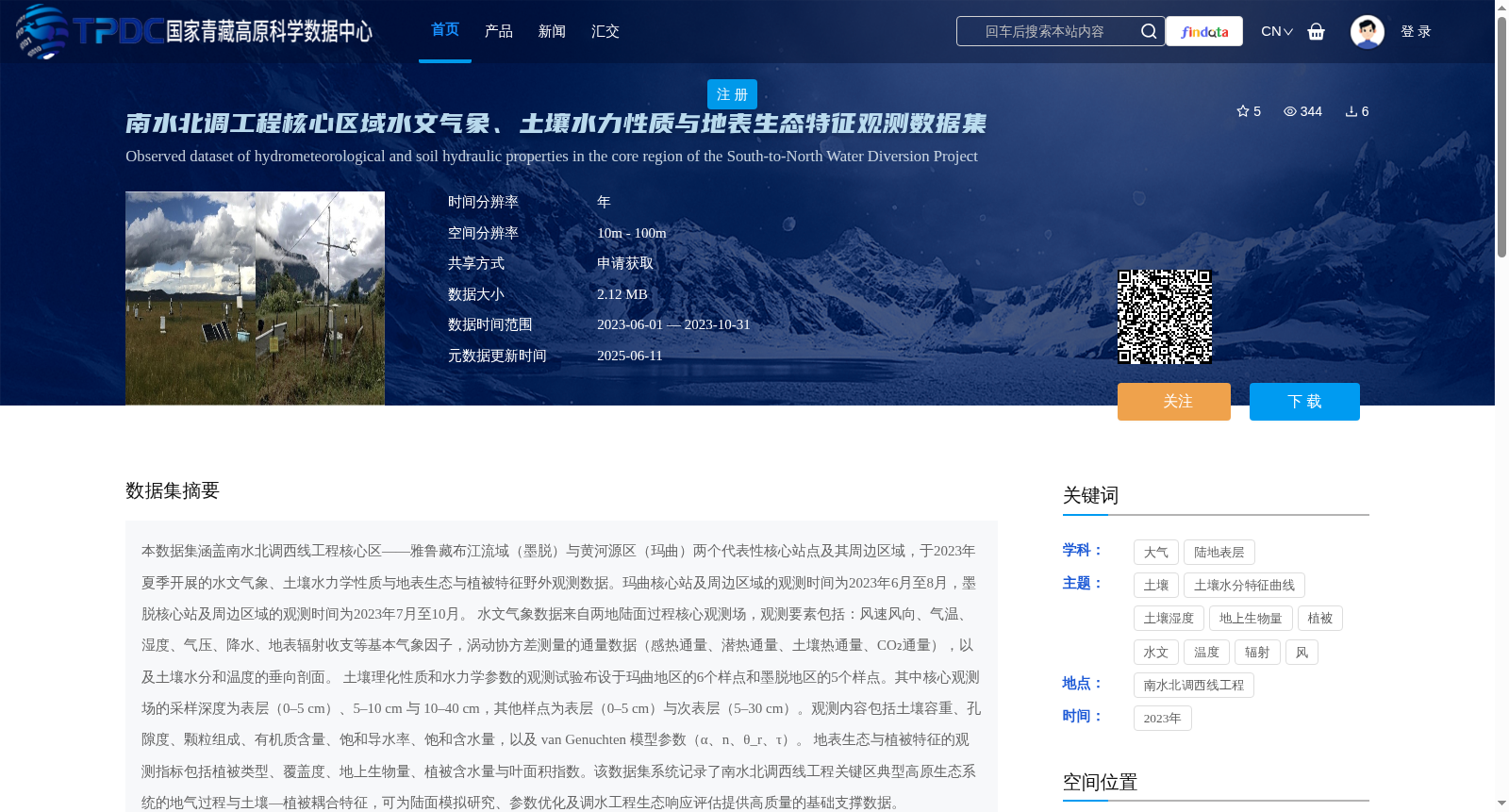
本数据集涵盖南水北调西线工程核心区——雅鲁藏布江流域(墨脱)与黄河源区(玛曲)两个代表性核心站点及其周边区域,于2023年夏季开展的水文气象、土壤水力学性质与地表生态与植被特征野外观测数据。玛曲核心站及周边区域的观测时间为2023年6月至8月,墨脱核心站及周边区域的观测时间为2023年7月至10月。
水文气象数据来自两地陆面过程核心观测场,观测要素包括:风速风向、气温、湿度、气压、降水、地表辐射收支等基本气象因子,涡动协方差测量的通量数据(感热通量、潜热通量、土壤热通量、CO₂通量),以及土壤水分和温度的垂向剖面。
土壤理化性质和水力学参数的观测试验布设于玛曲地区的6个样点和墨脱地区的5个样点。其中核心观测场的采样深度为表层(0–5 cm)、5–10 cm 与 10–40 cm,其他样点为表层(0–5 cm)与次表层(5–30 cm)。观测内容包括土壤容重、孔隙度、颗粒组成、有机质含量、饱和导水率、饱和含水量,以及 van Genuchten 模型参数(α、n、θ_r、τ)。
地表生态与植被特征的观测指标包括植被类型、覆盖度、地上生物量、植被含水量与叶面积指数。该数据集系统记录了南水北调西线工程关键区典型高原生态系统的地气过程与土壤—植被耦合特征,可为陆面模拟研究、参数优化及调水工程生态响应评估提供高质量的基础支撑数据。
This dataset contains field observation data collected during summer 2023 on hydrometeorology, soil hydraulic properties, surface ecology and vegetation characteristics in the surrounding areas of two representative core sites: the Yarlung Zangbo River Basin (Medog) and the source region of the Yellow River (Maqu), which are the core areas of the South-to-North Water Diversion Project West Route. The observation period for the Maqu core site and its surrounding areas is from June to August 2023, while that for the Medog core site and its surrounding areas is from July to October 2023.
Hydrometeorological data were obtained from the core land surface process observation sites in both regions. The observed variables include basic meteorological factors such as wind speed and direction, air temperature, relative humidity, atmospheric pressure, precipitation, and surface radiation budget; flux data measured by eddy covariance (sensible heat flux, latent heat flux, soil heat flux, and CO₂ flux); as well as vertical profiles of soil moisture and temperature.
Field experiments for observing soil physical and chemical properties and hydraulic parameters were arranged at 6 sampling sites in the Maqu region and 5 sampling sites in the Medog region. The sampling depths for the core observation sites are surface layer (0–5 cm), 5–10 cm, and 10–40 cm, while those for other sampling sites are surface layer (0–5 cm) and subsurface layer (5–30 cm). The observed contents include soil bulk density, soil porosity, particle size distribution, organic matter content, saturated hydraulic conductivity, saturated water content, and van Genuchten model parameters (α, n, θ_r, τ).
Observation indicators for surface ecology and vegetation characteristics include vegetation type, vegetation coverage, aboveground biomass, vegetation water content, and leaf area index. This dataset systematically records the land-atmosphere interaction processes and soil-vegetation coupling characteristics of typical plateau ecosystems in the key areas of the South-to-North Water Diversion Project West Route, and can provide high-quality basic supporting data for land surface simulation research, parameter optimization, and ecological response assessment of water diversion projects.
提供机构:
王作亮,王欣,刘蓉
创建时间:
2025-06-11
搜集汇总
数据集介绍
背景与挑战
背景概述
该数据集涵盖了南水北调西线工程核心区的水文气象、土壤水力学性质与地表生态特征观测数据,包括风速风向、气温、湿度、气压、降水、地表辐射收支等气象因子,以及土壤理化性质和水力学参数。数据时间为2023年夏季,空间分辨率为10m - 100m,为陆面模拟研究和调水工程生态响应评估提供了高质量的基础数据。
以上内容由遇见数据集搜集并总结生成


