祁连山国家公园水库、湖泊分布(2017)
收藏国家青藏高原科学数据中心2023-10-08 更新2024-03-01 收录
下载链接:
https://data.tpdc.ac.cn/zh-hans/data/953b9901-5292-461f-963c-79c2d0c3042c
下载链接
链接失效反馈官方服务:
资源简介:
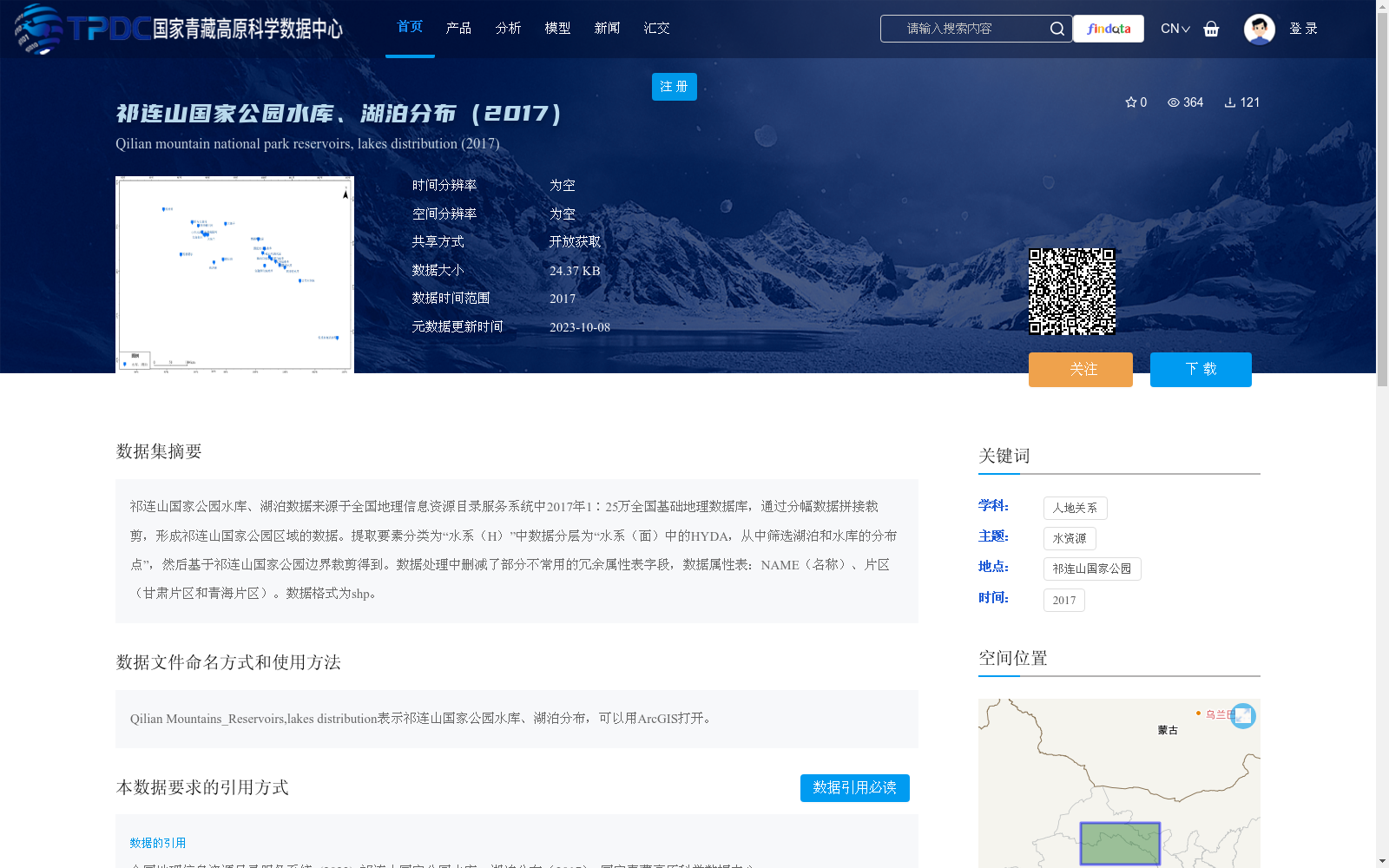
祁连山国家公园水库、湖泊数据来源于全国地理信息资源目录服务系统中2017年1∶25万全国基础地理数据库,通过分幅数据拼接裁剪,形成祁连山国家公园区域的数据。提取要素分类为“水系(H)”中数据分层为“水系(面)中的HYDA,从中筛选湖泊和水库的分布点”,然后基于祁连山国家公园边界裁剪得到。数据处理中删减了部分不常用的冗余属性表字段,数据属性表:NAME(名称)、片区(甘肃片区和青海片区)。数据格式为shp。
The reservoir and lake data of Qilian Mountains National Park are sourced from the 2017 1:250,000-scale National Fundamental Geographic Database in the National Geographic Information Resources Directory Service System. The dataset covering the Qilian Mountains National Park area was generated by mosaicking and clipping the tile-based source data. Feature elements were extracted from the HYDA layer under the "Areal Hydrography" subcategory of the "Hydrography (H)" feature class, where distribution points of lakes and reservoirs were screened out, and then clipped based on the boundary of Qilian Mountains National Park. During data processing, some rarely used redundant attribute table fields were removed. The attribute table includes two fields: NAME (for the name of the water body) and Region (with valid values of Gansu Section and Qinghai Section). The data is stored in shapefile (.shp) format.
提供机构:
全国地理信息资源目录服务系统
创建时间:
2023-05-21
搜集汇总
数据集介绍
背景与挑战
背景概述
该数据集提供了2017年祁连山国家公园内水库和湖泊的分布信息,数据来源于全国地理信息资源目录服务系统的1∶25万基础地理数据库,经过拼接裁剪和属性筛选处理,格式为shp,包含名称和片区属性。数据集聚焦于水资源主题,适用于人地关系研究,具有开放获取特点,数据量较小(24.37 KB),便于使用ArcGIS等工具进行分析。
以上内容由遇见数据集搜集并总结生成


